
 Edit this map

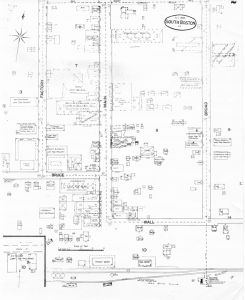
Pipestand Map
near South Boston, va

 See more

Nearby Maps
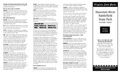
Staunton River Battlefield State Park Map
Clearly labeled state park map.
13 miles away
Near Staunton River state Park, Virginia
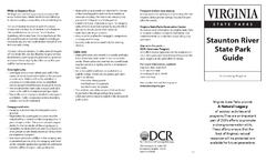
Staunton River State Park Map
Clear map marking trails, rest stops, facilities and more.
13 miles away
Near Staunton River State Park, Virginia
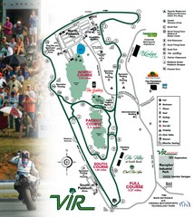
Virginia International Raceway Guide Map
VIR Guide Map
19 miles away
Near Virginia International Raceway
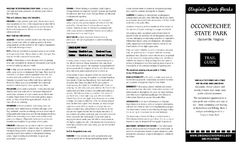
Occoneechee State Park Map
This map clearly marks rest stops, trails, campgrounds and more.
22 miles away
Near Occoneechee State Park, Virginia
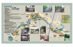
Tar Riverm Trail Map
39 miles away
Near Tar River, NC, USA
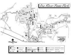
Eno River State Park map
Detailed recreation map for Eno River State Park in North Carolina
45 miles away
Near Durham, NC 27705-9275

 See more


 Explore Maps
 Map Directory
 click for
 Fullsize


0 Comments
New comments have been temporarily disabled.