
 Edit this map

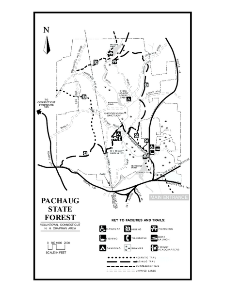
Pachaug State Forest map
near voluntown, ct

 See more

Nearby Maps
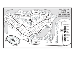
Hopeville Pond campground map
Campground map of Hopeville Pond State Park in Connecticut.
3 miles away
Near griswold, ct
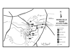
Hopeville Pond State Park trail map
Trail map for Hopevill Pond State Park in Connecticut
3 miles away
Near griswold, ct
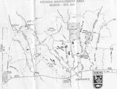
Arcadia Management Area State Map
Trail map for Arcadia Management Area in Rhode Island
7 miles away
Near Arcadia, Rhode Island
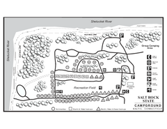
Salt Rock State Park campground map
Campground Map of Salt Rock State Campground in Connecticut.
10 miles away
Near baltic, ct
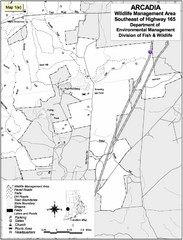
Arcadia Wildlife Management Area Map - Southeast
Reference map shows portion of Arcadia Wildlife Management Area, Rhode Island southeast of Highway...
10 miles away
Near Arcadia, Rhode Island
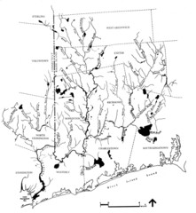
Rhode Island Coastal Watershed Map
Paddling Guide of Pawcatuck River Watershed
16 miles away
Near Rhode Island, US

 See more


 Explore Maps
 Map Directory
 click for
 Fullsize


3 Comments
These maps are worthless. The DEP should hang their collective heads in shame.
i cant see it!!
can't find greenfalls does it not exsit anymore