Northampton Town Map
near Northampton, UK
See more
 See more
Nearby Maps

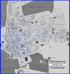
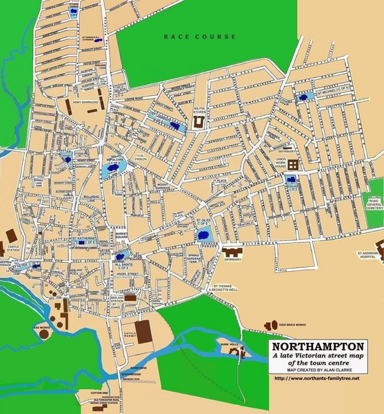
Northampton Town Map
Map of Northampton from the late Victorian period with public houses, inns, hotels, and pubs all...
less than 1 mile away
Near Northampton, UK

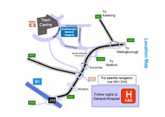
Central Northampton, England Tourist Map
Central Northampton in England
less than 1 mile away
Near Northampton, United Kingdom

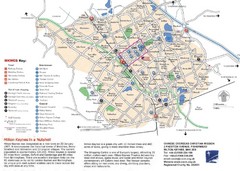
Milton Keynes Region Tourist Map
Tourist map of region around Milton Keynes, UK. Shows railway stations, out of town shopping, and...
16 miles away
Near Milton Keynes, UK

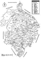
Warwichshire, England Region Map
24 miles away
Near Warwickshire, England

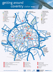
Coventry Tourist Map
Tourist map of central Coventry, England. Shows points of interest.
29 miles away
Near Coventry, England, UK

 click for
 Fullsize


0 Comments
New comments have been temporarily disabled.