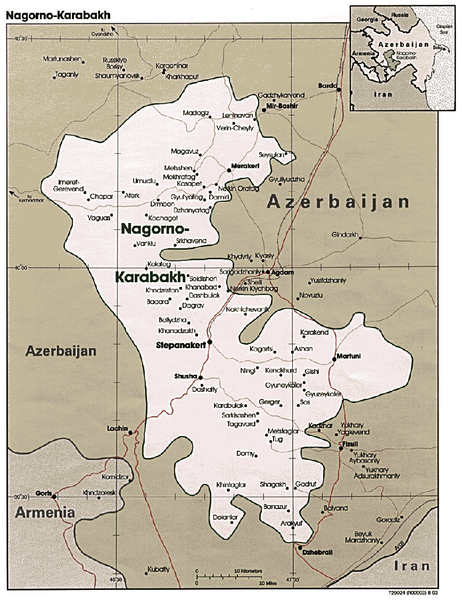
Nagorno-Karabakh Map
near Nagorno-Karabakh
See more
 See more
Nearby Maps

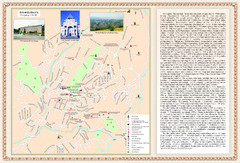
Stepanakert City Map
Map of Stepanakert, Nagorno-Karabakh Republic (Artsakh)
3 miles away
Near Stepanakert

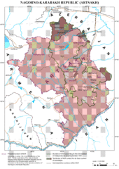
Karabakh Map
Up-to-date Map of the Nagorno-Karabakh Republic (Republic of Arstakh)
3 miles away
Near Stepanakert

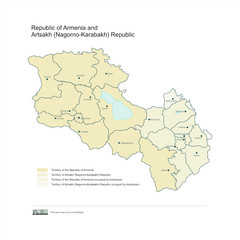
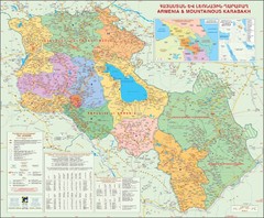
Map of Armenian states - the Republic of Armenia...
Map of Armenian states - the Republic of Armenia and the Nagorno-Karabakh Republic
4 miles away
Near Karabakh

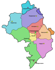
Administrative Map of Nagorny Karabakh (Artsakh)
Administrative Division of the Nagorno-Karabakh Republic (Artsakh)
5 miles away
Near Karabakh

Karabakh & Armenia Map
Map of Armenian states - the Republic of Armenia and the Nagorno-Karabakh Republic
6 miles away
Near Karabakh

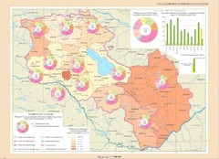
Educational Attainment in Armenia and Nagorny...
Map of Educational Attainment in the Armenian states - Republic of Armenia and the Nagorno-Karabakh...
7 miles away
Near Karabakh

 click for
 Fullsize

0 Comments
New comments have been temporarily disabled.