
 Edit this map

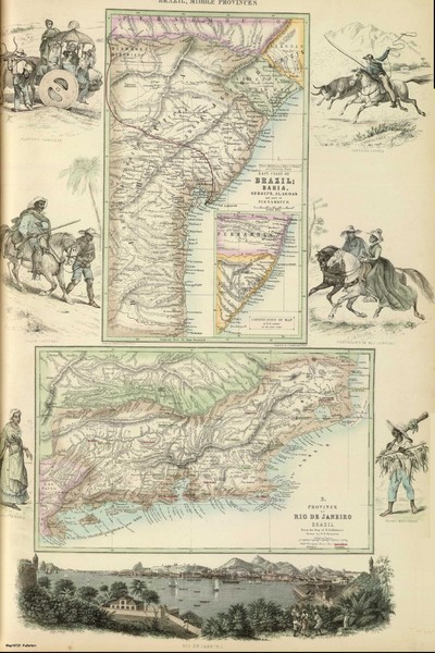
Middle Provinces of Brazil Map 1872
near Rio de Janeiro, Brazil
View Location
Map of province east coast of Brazil (Bahia) and province of Rio de Janeiro, Brazil 1872

 See more

Nearby Maps
. Map
76 miles away
Near Rio de Janeiro
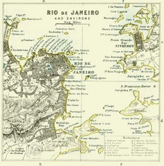
Rio De Janeiro Historical Map
Map of Rio De Janeiro, Brazil fro 1896. Map showis towns, buildings and roads.
76 miles away
Near Rio De Janeiro, Brazil
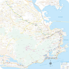
Rio de Janiero Map
76 miles away
Near Rio de Janiero

 See more


 Explore Maps
 Map Directory
 click for
 Fullsize


0 Comments
New comments have been temporarily disabled.