
 Edit this map

Michigan Road Map
near Michigan

 See more

Nearby Maps
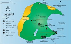
South Manitou Island Map
8 miles away
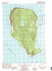
North Manitou Island Map
15 miles away
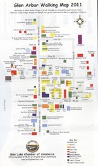
Glen Arbor MI walking map
16 miles away
Near Glen Arbor, MI
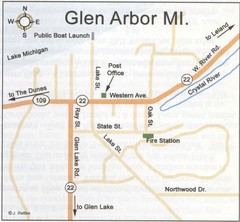
Glen Arbor MI Map
16 miles away
Near Glen Arbor, MI
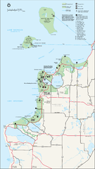
Sleeping Bear Dunes National Lakeshore Map
16 miles away
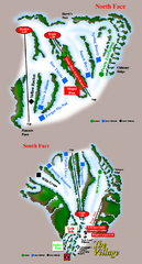
The Homestead Ski Trail Map
Trail map from The Homestead.
16 miles away
Near Wood Ridge Road, Glen Arbor, MI

 See more


 Explore Maps
 Map Directory
 click for
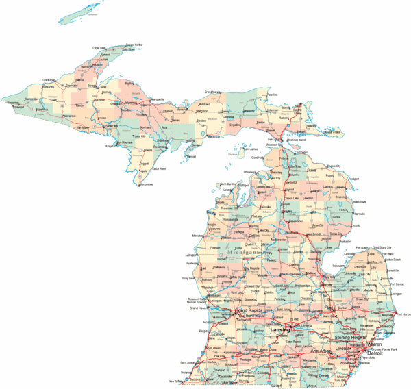
 Fullsize


3 Comments
Very poor, generalized map. Several very our of date highway routes. Likely a highly automated map with little actual human cartographic intervention. There are many other better maps of Michigan on the Internet which are much more accurate.
CJ or others, please add one!
Lewis and Clark had better maps !!