
 Edit this map

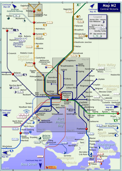
Melbourne Train Map
near Melbourne, Australia
View Location
This map covers the region in the central part of the State of Victoria surrounding the city of Melbourne. The terrain varies from undulating to hilly in the north where the Great Dividing Range runs east-west, to a flat volcanic plain upon which the City of Melbourne sits, down to sandy beaches on the South Coast.
Tweet
See an error? Report it.
Keywords
transportation, train, track, travel, tourism, metro, stations, ashburton, bayswater, belgrave, bell, bentleigh, berwick, blackburn, boronia, box, hill, brighton, beach, burnley, broadmeadows, glen waverley, clifton hill, east malvern, ferntree gully, flinders street, melbourne central, mount waverley, narre warren, north melbourne, southern cross, surrey hills, upper ferntree gully, camberwell, carrum, caulfield, cheltenham, clayton, coburg, craigieburn, cranbourne, croydon, dandenong, darling, elsternwick, eltham, epping, essendon, flagstaff, footscray, frankston, glenferrie, glenroy, gowrie, greensborough, heidelberg, ivanhoe, laverton, lilydale, macleod, mentone, mitcham, moorabbin, mooroolbark, mordialloc, newport, noble park, nunawading, oakleigh, pakenham, parliament, preston, reservoir, richmond, ringwood, sandringham, south yarra, springvale, st albans, sunshine, thomastown, upfield, watergardens, watsonia, werribee, williamstown
 See more

Nearby Maps
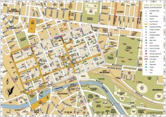
Melbourne Central District Tourist Map
Shows city of Melbourne Central District. Shows hotels, parking, trains stations, shopping/cafes...
less than 1 mile away
Near Melbourne, Australia

Melbourne Tram Map
less than 1 mile away
Near Melbourne
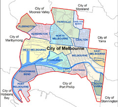
City of Melbourne Australia Boundary Map
Boundary map showing the suburbs of Melbourne, Australia. No street level detail.
less than 1 mile away
Near Melbourne, Australia
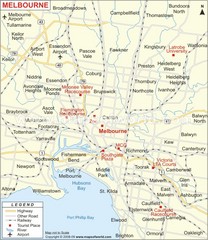
Greater Melbourne, Australia Region Map
less than 1 mile away
Near Melbourne, Australia
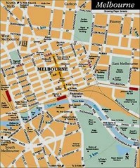
Central Melbourne, Australia Tourist Map
less than 1 mile away
Near Melbourne, Australia

 See more


 Explore Maps
 Map Directory
 click for
 Fullsize

0 Comments
New comments have been temporarily disabled.