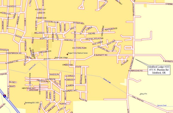
Medford, Oregon City Map
near Medford, Oregon
See more

 See more
Nearby Maps

Bear Creek Greenway Map
Trail map of the Bear Creek Greenway connecting Central Point to Ashland, Oregon. Will eventually...
0 miles away
Near Medford, Oregon

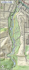
Lithia Park Trail Map
Trail map of Lithia Park in town of Ashland, Oregon. Adjacent to the Oregon Shakespeare Festival.
12 miles away
Near Ashland, OR

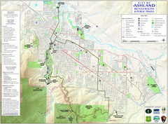
Ashland Trails Map
Trail map of Ashland, Oregon. Shows bicycle routes and public parks and trails.
13 miles away
Near Ashland, Oregon

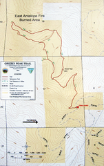
Grizzly Peak Trail Map
Topographic trail map of Grizzly Peak near Ashland, Oregon. Shows trails and distances. From...
13 miles away
Near Grizzly Peak, Ashland, Oregon

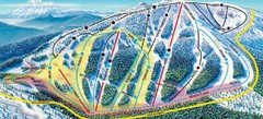
Mt. Ashland Ski Trail Map
Ski trail map of Mt. Ashland ski area near Ashland, Oregon
19 miles away
Near Mt. Ashland, Oregon

 click for
 Fullsize

0 Comments
New comments have been temporarily disabled.