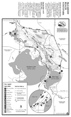
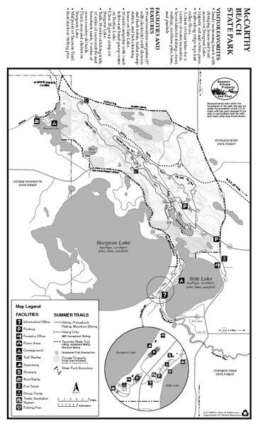
McCarthy Beach State Park Summer Map
near 7622 McCarthy Beach Rd, Side Lake, MN
View Location
Summer seasonal map of park with detail of trails and recreation zones
See more
 See more
Nearby Maps

McCarthy Beach State Park Winter Map
Winter seasonal map of park with detail of trails and recreation zones
less than 1 mile away
Near 7622 McCarthy Beach Rd, Side Lake, MN

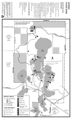
Scenic State Park Winter Map
Winter seasonal map of park with detail of trails and recreation zones
25 miles away
Near 56956 Scenic Highway 7, Bigfork, MN

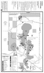
Scenic State Park Summer Map
Summer seasonal map of park with detail of trails and recreation zones
25 miles away
Near 56956 Scenic Highway 7, Bigfork, MN

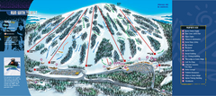
Giants Ridge Resort Ski Trail Map
Trail map from Giants Ridge Resort, which provides downhill, night, nordic, and terrain park skiing...
35 miles away
Near Biwabik, Minnesota, United States

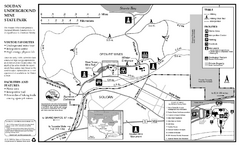
Soudan Underground Mine State Park Map
map of park with detail of trails and recreation zones
38 miles away
Near Soudan Underground Mine State Park, MN

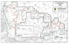
Superior National Forest Map
Echo Trail in Superior National Forest
44 miles away
Near Superior National Forest

 click for
 Fullsize

0 Comments
New comments have been temporarily disabled.