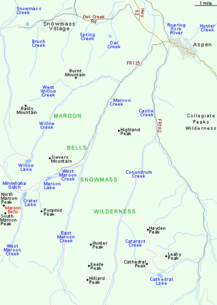
Maroon Bells Area Map
near Maroon Bells, CO
See more
 See more
Nearby Maps

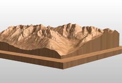
Map carved of the Maroon Bells
CarvedMaps.com can carve any area within the United States. This carving is of the Maroon Bells...
less than 1 mile away
Near Maroon Bells

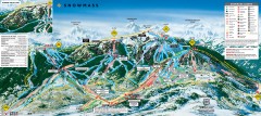
Snowmass Ski Trail Map
Official ski trail map of Snowmass ski area from the 2007-2008 season.
8 miles away
Near Snowmass Village, CO

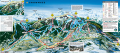
Snowmass Ski Trail Map
Trail map from Snowmass, which provides downhill and terrain park skiing. It has 24 lifts servicing...
8 miles away
Near Snowmass Village, Colorado, United States

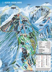
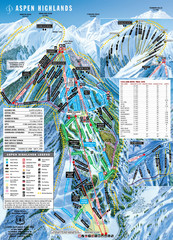
Aspen Highlands Ski Trail Map
Official ski trail map of Aspen Highlands ski area from the 2007-2008 season.
9 miles away
Near Aspen, Colorado

Aspen Highlands Ski Trail Map
Trail map from Aspen Highlands, which provides downhill skiing. It has 5 lifts servicing 125 runs...
9 miles away
Near Aspen, Colorado, United States

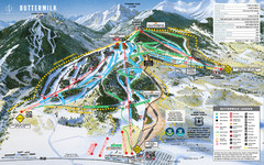
Buttermilk Mountain Ski Trail Map
Trail map from Buttermilk Mountain, which provides downhill and terrain park skiing. It has 7 lifts...
10 miles away
Near Aspen, Colorado, United States

 click for
 Fullsize

0 Comments
New comments have been temporarily disabled.