
 Edit this map

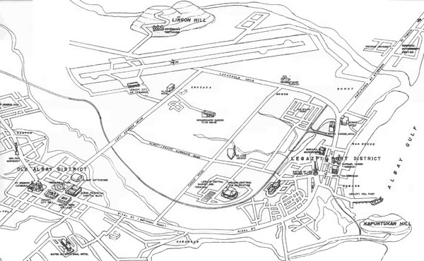
Legazpi City Area Map
near Legazpi City, Phillipines
View Location
City map of Legazpi, Phillipines area. Shows Legazpi Port district and Old Albay District
Tweet
See an error? Report it.
Keywords
reference, city, phillipines, pawa, legazpi city, lapu-lapu, quezon, province, rawis, legazpi, city, rawis, legazpi, city, la, piazza, convention, center, la, piazza, convention, center, orthodox, church, pawa, pawa, civil, service, commission, rawis, legazpi, city
 See more

Nearby Maps
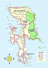
Samar Island Tourist Map
127 miles away
Near Visayas
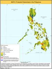
Protected Watersheds in the Philippines Map
Shows mining concessions, groundwater vulnerability, and watersheds in the Philippines. From site...
133 miles away
Near Philippines
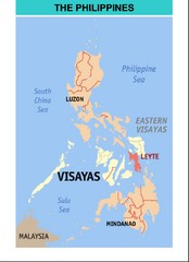
Philippines Map
134 miles away
Near Philippines
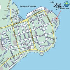
Tacloban CIty Map
This map clearly marks the road system of Tacloban.
156 miles away
Near tacloban city

 See more


 Explore Maps
 Map Directory
 click for
 Fullsize


0 Comments
New comments have been temporarily disabled.