
 Edit this map

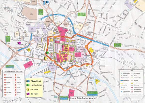
Leeds Tourist Map
near Leeds, England
View Location
Tourist map of city center of Leeds, UK
Tweet
See an error? Report it.
Keywords
tourism, city, england, uk, marriott, etan hotel, ls6 1py, kendell street, ls1 4bn, ls1 5ql, statics on weather, upper masonett, leeds, maisonette, leeds, 1 raynel gardens, leeds, roberts avenue, roberts avenue, ls1 4ag, hospitals, fielding, way, fielding, way
 See more

Nearby Maps
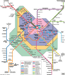
Leeds Metro Train Diagram Map
Metro system map for Leeds, England and surrounding cities.
0 miles away
Near Leeds, England
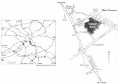
University of Leeds Campus Map
Various buildings on the University of Leeds campus
1 mile away
Near Leeds
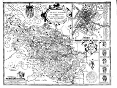
1610 Yorkshire County Historical Map
A 1610 map of Yorkshire Country in the United Kingdom
7 miles away
Near Yorkshire, UK
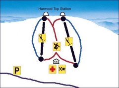
Harwood Sketch Ski Trail Map
Trail map from Harwood.
7 miles away
Near 52 Lea Rd, Batley, West Yorkshire, WF17 8BB...
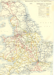
1887 - Prinicipal Railways in England and Wales...
Railways in England and Wales in 1887
8 miles away
Near England
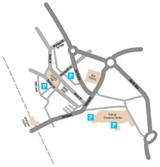
Wakefield Center Street Map
Crude street map of center of Wakefield, UK.
8 miles away
Near Wakefield, UK

 See more


 Explore Maps
 Map Directory
 click for
 Fullsize


0 Comments
New comments have been temporarily disabled.