Khumbu Region Sacred Sites Trail Map
near Sagarmatha National Park, Nepal
View Location
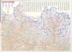
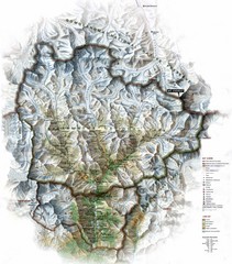
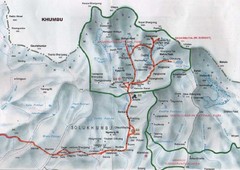
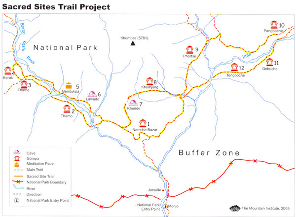
Shows the Sacred Site Trail in the Khumbu region of Nepal in Sagarmatha National Park. From the site: "The Sacred Sites Trail Project lies in Sagarmatha National Park and Buffer Zone and includes Namche Bazaar and six other major settlements within the park. The project’s circular trail passes clockwise through monasteries, caves, hermitages and nunneries, starting from Namche Bazaar, passing through several sites in the Thame valley, and ending at the Tengboche Monastery."
See more
 See more
Nearby Maps

Sagarmatha National Park Map
Detailed topo map of Sagarmatha National Park in Nepal. Shows park boundary, peaks, passes...
4 miles away
Near Sagarmatha National Park, Nepal

Sagarmatha National Park Map
Shows Sagarmatha National Park, Nepal and surrounding National Parks near Mt. Everest. Shows...
16 miles away
Near Sagarmatha National Park

Mt. Everest Map
32 miles away
Near Mount Everest Nepal

Mount Everest Map
32 miles away
Near Mt Everest NEPAL

Mt Everest Rongbu Glacier Climbing Map
32 miles away
Near Mt. Everest

Patan Lalitpur, Nepal Guide Map
70 miles away
Near Patan Lalitpur, Nepal

 click for
 Fullsize


0 Comments
New comments have been temporarily disabled.