Edit this map

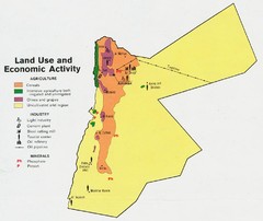
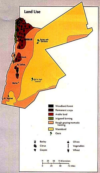
Jordan Land Use Map

near Jordan

View LocationView Map

31.0999817937494 37.056884765625 7 satellite
Nearest Map »  Fullsize
602 × 103484 KBJPG

Map of Jordan's land use

Created 1993 by CIA Atlas of the Middle East
From www.lib.utexas.edu

Megan added
Nov 28, 2009

Rating
no ratings

See an error? Report it.

Keywords

reference, country, region

0 Comments

New comments have been temporarily disabled.
See more

Nearby Maps

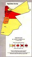
Jordan Population Density Map

Jordan Population Density Map

Map of Jordan's population density map

12 miles away

Near Jordan
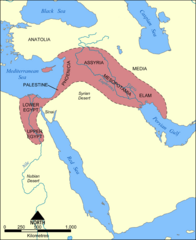
Fertile Crescent Map

Fertile Crescent Map

Shows the Fertile Crescent of ancient times. Comprises parts of modern day Egypt, Israel, Lebanon...

15 miles away

rated 3.05 by 20 people
Near Bā'ir, Jordan
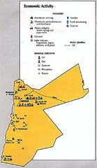
Jordan Economic Activity Map

Jordan Economic Activity Map

Map of Jordan's economic activity

20 miles away

Near Jordan
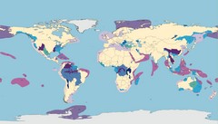
World Water Map

World Water Map

Shows seven major habitat types for freshwater ecoregions: Large Rivers, Large River Headwaters...

34 miles away

rated 3.5 by 2 people
Near World
Jordan land use Map

Jordan land use Map

40 miles away

Keywords: reference
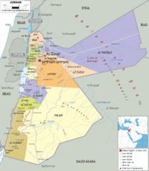
Jordan political Map

Jordan political Map

48 miles away

Keywords: reference
See more