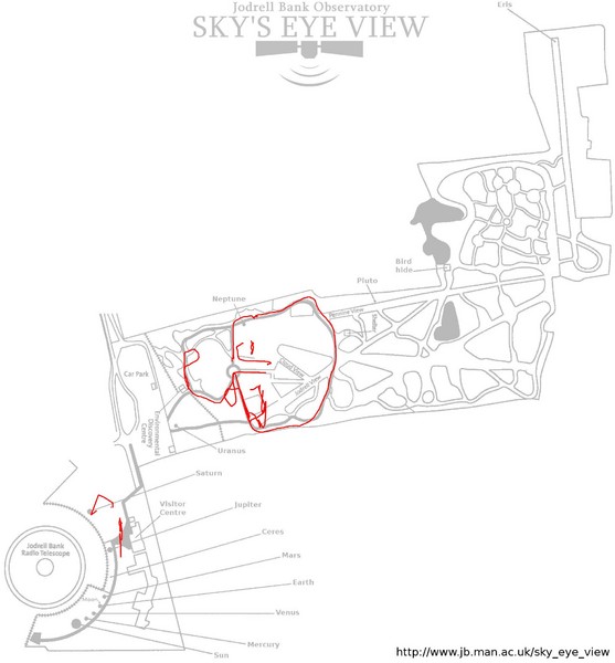
Jodrell Bank Observatory Map
near Manchester, England
View Location
Map of the Jodrell Bank Observatory. Shows location of parking lot, layout of the observatory, recreational areas and attractions.
See more
 See more
Nearby Maps

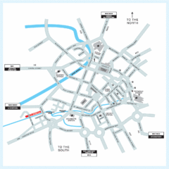
Manchester Overview Map
less than 1 mile away
Near Manchester, UK

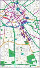
Manchester Map
less than 1 mile away
Near Manchester

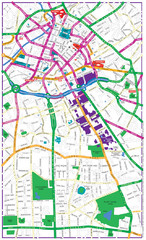
Manchester Map
less than 1 mile away
Near Manchester

Manchester Tourist Map
Tourist map of Manchester, UK. Shows points of interest.
less than 1 mile away
Near Manchester, England, UK

University of Salford Map
1 mile away
Near University of Salford

Manchester Business School Map
Map of Machester Business School at University of Manchester
1 mile away
Near Manchester, England

 click for
 Fullsize


0 Comments
New comments have been temporarily disabled.