Edit this map

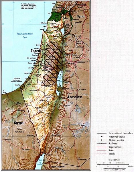
Israel Map

near Isreal

View LocationView Map

31.046051 34.851612 7 satellite
Nearest Map »  Fullsize
1516 × 1942820 KBJPG

Map of Isreal and Surrounding areas from "Atlas of the Middle East", published in January 1993 by the U.S. Central Intelligence Agency.

Created 1993 by U.S. Central Intelligence Agency
From lib.utexas.edu

Pete Sanchez added
Jan 25, 2009

Rating
no ratings

See an error? Report it.

Keywords

reference, cities, mountains, rivers, and, borders, 1539-2307

0 Comments

New comments have been temporarily disabled.
See more

Nearby Maps

Israel Road Map

Israel Road Map

Road map of Israel.

0 miles away

rated 3.5 by 2 people
Near Israel
Israel Map

Israel Map

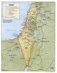
Israel map showing cities, boundaries, railways, mountains.

0 miles away

Near Israel
Keywords: reference
Beersheba City Map

Beersheba City Map

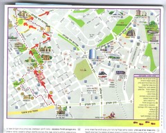
Pictorial map of Beersheba

14 miles away

Near Beersheba, Israel
Beersheba City Map

Beersheba City Map

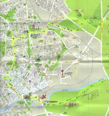
Pictorial map of Beersheba with attractions and walking trail

14 miles away

Near Beersheba, Israel
Gaza Strip Map

Gaza Strip Map

Map of area with detail of settlements and divisions

30 miles away

Near Gaza, Israel
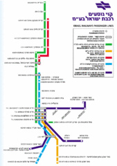
Israel Railways Map

Israel Railways Map

Map of railway lines throughout countries

34 miles away

Near Israel
See more