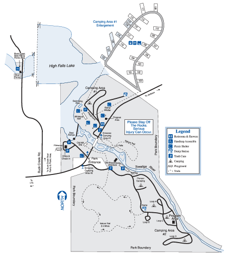
High Falls State Park Map
near High Falls State Park, GA
See more

 See more
Nearby Maps

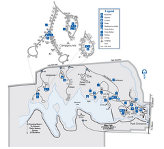
Indian Springs State Park Map
Map of park with detail of trails and recreation zones
7 miles away
Near 678 Lake Clark Rd, Flovilla, GA

Panola Mountain State Park Map
Map of park with detail of trails and recreation zones
33 miles away
Near 2600 Georgia Highway 155, Stockbridge, GA

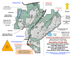
Davidson-Arabia Mountain Nature Preserve Map
Davidson-Arabia Mountain Nature Preserve is comprised of 570 acres of granite outcrop, wetlands...
35 miles away
Near 3787 Klondike Road Lithonia, GA 30038

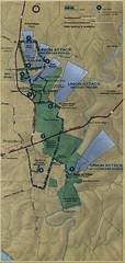
Antietam National Battelfield Map
38 miles away
Near Sharpsburg

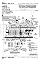
Atlanta Airport Map
41 miles away
Near Atlanta Airport

Atlanta Airport Map
41 miles away
Near Atlanta Tx Airport

 click for
 Fullsize

0 Comments
New comments have been temporarily disabled.