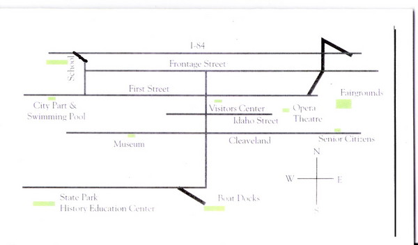
Glenns Ferry City Map
near Glenns Ferry, Idaho
See more
 See more
Nearby Maps

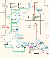
Hagerman Fossil Beds National Monument Map
Official map of Hagerman Fossil Beds National Monument in Hagerman, Idaho
22 miles away
Near Hagerman, ID

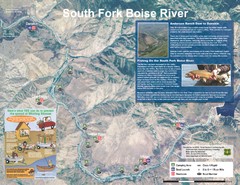
South Fork Boise River Map
Map of the South Fork of the Boise River from Anderson Ranch Dam to Neal Bridge. Premier wild...
30 miles away
Near Danskin, Idaho

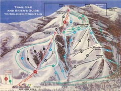
Soldier Mountain Ski Trail Map
Trail map from Soldier Mountain, which provides downhill and terrain park skiing. It has 3 lifts...
46 miles away
Near Soldier Mountain, Camas, Idaho 83327

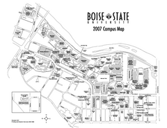
Boise State University Map
Boise State University Campus Map. All areas shown.
64 miles away
Near Boise, Idaho

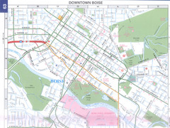
Boise, Idaho Downtown Map
Map of the downtown area of Boise, Idaho includes all streets, parks and the Boise State University.
65 miles away
Near Boise, Idaho, USA

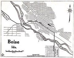
Boise Idaho 1917 Map
66 miles away
Near Boise, Id

 click for
 Fullsize


0 Comments
New comments have been temporarily disabled.