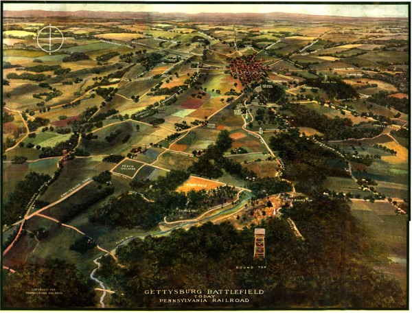
Gettysburg Battlefield in 1913 Map
near Gettysburg, PA
View Location
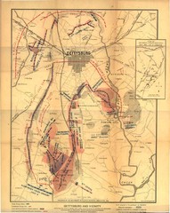
Bird's eye view map of the Gettysburg Battlefield in 1913 by the Pennsylvania Railroad. From gdg.org:"[a] phenomenally detailed depiction of the battlefield as it existed at the time of the 50th anniversary of the battle."
See more
 See more
Nearby Maps

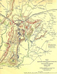
Gettysburg Battlefield map July 2, 1863
Map of the Union and Confederate positions in the Battle of Gettysburg July 2, 1863. "On July...
less than 1 mile away
Near Gettysburg, PA

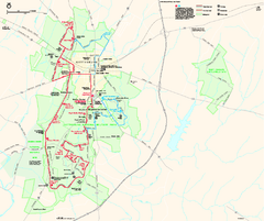
Gettysburg National Military Park Official Map
Official NPS map of Gettysburg National Military Park in Virginia. The park is open daily from 6...
less than 1 mile away
Near Gettysburg National Military Park

Gettysburg Battlefield Map
1 mile away
Near Gettysburg

Eisenhower Farm National Historic Site Map
Visitor map of former US president Dwight D. Eisenhower's farm, a National Historic Site. 1.5...
2 miles away
Near 1195 Baltimore Pike, Gettysburg, PA

Liberty Mountain Ski Trail Map
Trail map from Liberty Mountain.
8 miles away
Near Fairfield, Pennsylvania, United States

Caledonia State Park map
Detailed map of Caledonia State Park area in Pennsylvania.
15 miles away
Near Fayetteville, PA 17222-8224

 click for
 Fullsize


0 Comments
New comments have been temporarily disabled.