
 Edit this map

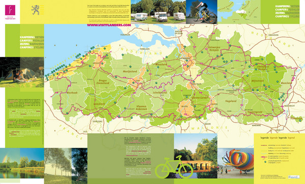
Flanders Camping and Cycling Map
near Flanders, Belgium

 See more

Nearby Maps
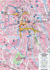
Ghent Walking Tour Map
Tourist and walking tour map of Ghent, Belgium. Shows points of interest.
5 miles away
Near Ghent, Belgium
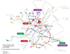
Brussels Transit Map
26 miles away
Near Brussels
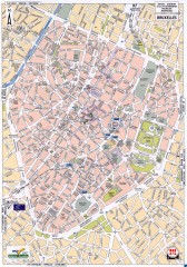
Brussels Street Map
Street map of the center of Brussels, Belgium (Brussel, Bruxelles). Major buildings labeled.
26 miles away
Near Brussels, Belgium
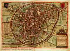
Medieval Brussels Map
27 miles away
Near Brussels
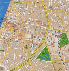
Antwerp Tourist Map
Tourist map of central Antwerp, Belgium. Scanned.
28 miles away
Near Antwerp, Belgium

 See more


 Explore Maps
 Map Directory
 click for
 Fullsize


1 Comments
http://www.panoramio.com/photo/31676139