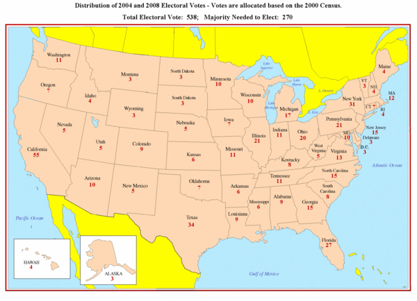
Electoral Votes by State Map
near Bostwick, Nebraska
See more
 See more
Nearby Maps

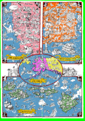
A MAD Pictorial Map of the United States - Back...
I found these raw assembled scans in a dieing torrent in 2010. Hash code...
25 miles away

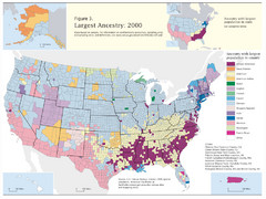
Census 2000 Data Top US Ancestries by County Map
Guide to Ancestries in the US
48 miles away
Near US

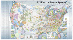
US Electric Power System Map
Map showing the US electric power system. from site: "shows power generation and transmission...
63 miles away
Near United States

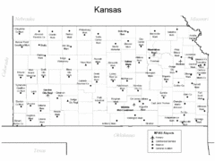
Kansas Airports Map
69 miles away
Near Kansas

Kansas Zip Code Map
Check out this Zip code map and every other state and county zip code map zipcodeguy.com.
69 miles away
Near Kansas

 click for
 Fullsize

0 Comments
New comments have been temporarily disabled.