
 Edit this map

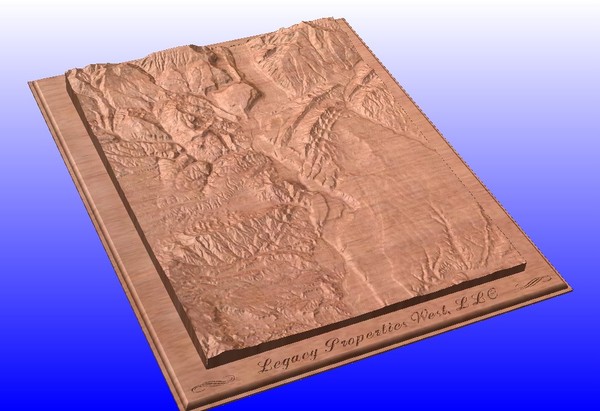
Durango, Colorado carved by CarvedMaps.com Map
near Durango, CO
View Location
Wooden map of Durango carved by Tom Justin at CarvedMaps.com. CarvedMaps.com does a beautiful job of carving any map area of the US. Let them know what quadrant(s) that you would like, and that's all there is to it.

 See more

Nearby Maps
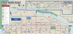
Historic Downtown Durango map
Walking map of historic downtown Durango, Colorado. Sponsored by the Durango Business Improvement...
less than 1 mile away
Near Durango, CO
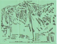
Hesperus Ski Area Ski Trail Map
Trail map from Hesperus Ski Area.
6 miles away
Near Rte 160, Durango, CO
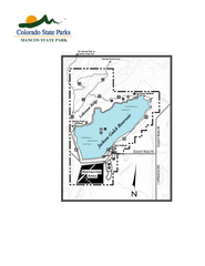
Mancos State Park Map
Map of park with detail of recreation zones
23 miles away
Near 42545 County Road N, Mancos, CO
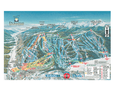
Durango Mountain Ski Trail Map
Official ski trail map of Durango Mountain Resort (formerly Purgatory) from 2003
24 miles away
Near Durango, CO
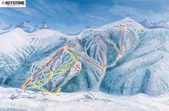
Keystone Ski Area Map
Ski trails, lifts and mountain elevations for Keystone and Bear Mountain, Colorado.
31 miles away
Near Bear Mountain, Colorado
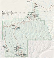
Mesa Verde National Park Official Park Map
Official NPS map of Mesa Verde National Park in Colorado. Mesa Verde National Park is open year...
31 miles away
Near Mesa Verde National Park

 See more


 Explore Maps
 Map Directory
 click for
 Fullsize


0 Comments
New comments have been temporarily disabled.