
 Edit this map

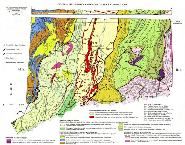
Connecticut Geologic Map
near Connecticut
View Location
Geologic map of Connecticut bedrock. Shows shaded terranes, fault lines, and Mesozoic formations.
Tweet
See an error? Report it.
Keywords
reference, geologic, state, terrane, fault line, mesozoic, south, farms, middletown, connecticut
 See more

Nearby Maps
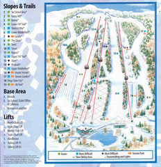
Powder Ridge Ski Area Ski Trail Map
Trail map from Powder Ridge Ski Area.
less than 1 mile away
Near Middlefield, Connecticut, United States
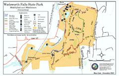
Wadsworth Falls State Park map
Trail map of Wadsworth Falls State Park in Connecticut.
4 miles away
Near middlefield, ct
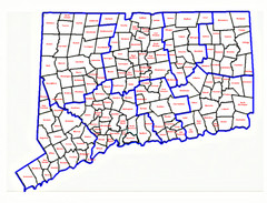
Connecticut Town Map
6 miles away
Near Connecticut, USA
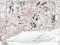
Connecticut State Forests Map
This is a map of all of the state forest boundaries in Connecticut. Follow the source web address...
7 miles away
Near South Farms, Connecticut
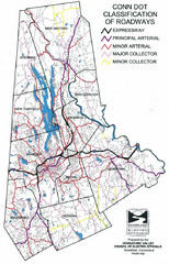
Connecticut Roadway Classification Map
8 miles away
Near Connecticut
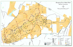
Sleeping Giant State Park map
Trail map for Sleeping Giant State Park in Connecticut.
8 miles away
Near hamden, ct

 See more


 Explore Maps
 Map Directory
 click for
 Fullsize


0 Comments
New comments have been temporarily disabled.