
 Edit this map

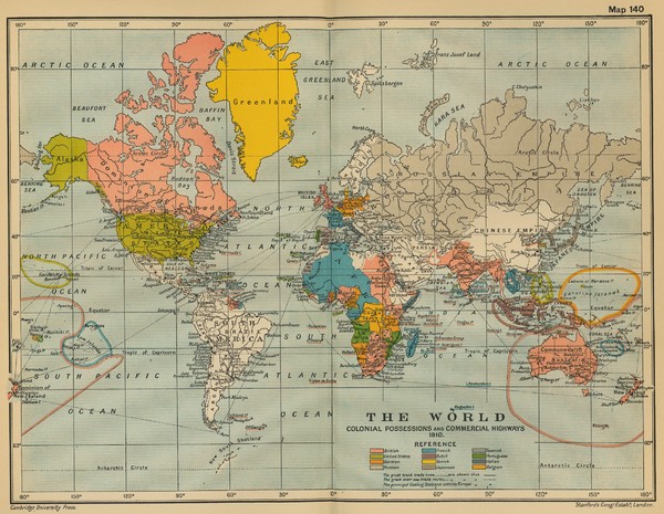
Colonial Posessions and Commercial Highways 1910 World Map
near World

 See more

Nearby Maps
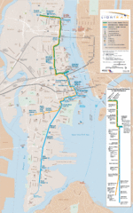
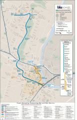
Hudson-Bergen Lightrail Map
Alternative transportation within the city.
4 miles away
Near Port Imperial, NY, USA
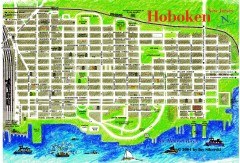
Hoboken Walking Tour map
Walking tour map of Hoboken, NJ. Shows points of interest.
5 miles away
Near hoboken, nj
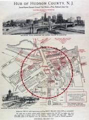
Antique map of Jersey City from 1925
Antique map of Jersey City, New Jersey from 1925.
5 miles away
Near jersey city, new jersey
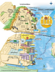
Jersey City, New Jersey City Map
Sketch of Jersey City and Hoboken, New Jersey
5 miles away
Near Jersey City, New Jersey
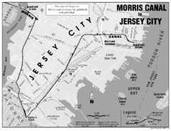
Jersey City Map
5 miles away
Near Jersey City

 See more


 Explore Maps
 Map Directory
 click for
 Fullsize

0 Comments
New comments have been temporarily disabled.