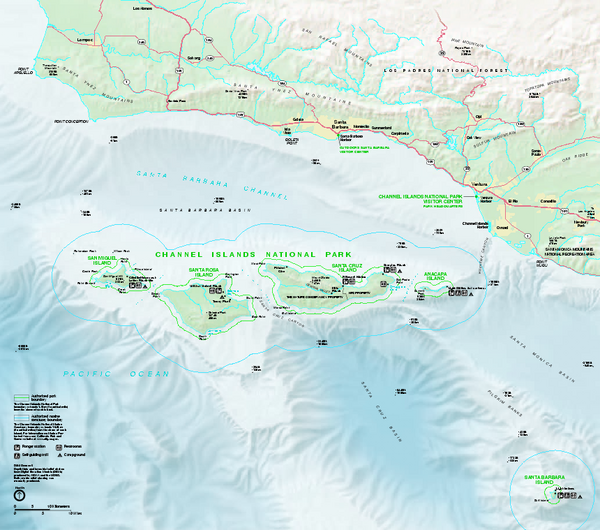
Channel Islands National Park Official Park Map
near Channel Islands National Park
View Location
Official NPS map of Channel Islands National Park in California. Channel Islands National Park encompasses five remarkable islands (Anacapa, Santa Cruz, Santa Rosa, San Miguel, and Santa Barbara) and their ocean environment.
See more
 See more
Nearby Maps

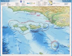
Channel Islands National Marine Sanctuary Map
Topo and bathymetric map of Channel Islands National Marine Sanctuary, located about 23 miles from...
7 miles away

El Capitan State Beach Campground Map
Map of campground region park with detail of trails and recreation zones
36 miles away
Near 10 Refugio Beach Rd, Goleta, CA

Refugio State Beach Campground Map
Map of campground region of beach with detail of trails and recreation zones
36 miles away
Near Refugio State Beach, Goleta, CA

Gaviota State Park Map
Map of park with detail of trails and recreation zones
39 miles away
Near 10 Refugio Beach Rd, Goleta, CA

 click for
 Fullsize



0 Comments
New comments have been temporarily disabled.