
 Edit this map

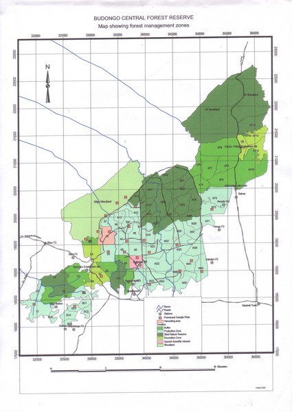
Budongo Forest Map
near Budongo Forest, uganda, Africa

 See more

Nearby Maps
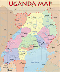
Uganda Political Map
Political map of Uganda. Shows regions, cities, and water features.
55 miles away
Near Uganda
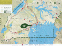
Uganda Tourist Map
Map of Uganda shows Trails and the proposed location of Equator City.
55 miles away
Near Uganda
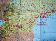
Uganda Tourist Map
86 miles away
Near Uganda
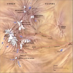
Rwenzori National Park Mt. Stanley Map
166 miles away
Near mt stanley uganda
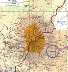
Mount Elgon topo. Map
194 miles away
Near 01°08′00″N 34°35′00...

 See more


 Explore Maps
 Map Directory
 click for
 Fullsize


0 Comments
New comments have been temporarily disabled.