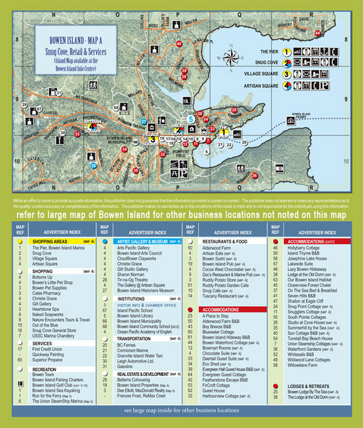
Bownen Island Tourist Map
near Bowen Island
See more
 See more
Nearby Maps

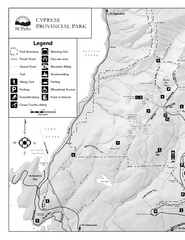
Cypress Provincial Park Map
Park map of Cypress Provincial Park, BC. Home of the North Shore Mountains. 2 pages.
6 miles away
Near Cypress Provincial Park, BC

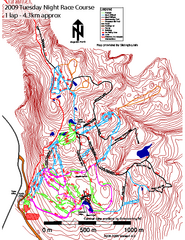
Cypress Mountain Tuesday Night Race Course Ski...
Trail map from Cypress Mountain, which provides downhill, night, nordic, and terrain park skiing...
6 miles away
Near Lions Bay, British Columbia, Canada

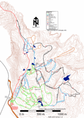
Cypress Mountain Nordic (Skiingbc.info Topo...
Trail map from Cypress Mountain, which provides downhill, night, nordic, and terrain park skiing...
6 miles away
Near Lions Bay, British Columbia, Canada

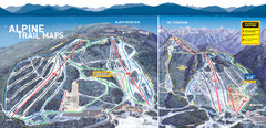
Cypress Mountain Ski Trail Map
Official ski trail map of Cypress Mountain ski area from the 2007-2008 season. Official freestyle...
6 miles away
Near Cypress Mountain, BC

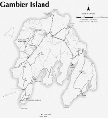
Gambier Island Trail Map
Trail map of Gambier Island, BC. See site for trail descriptions and details.
8 miles away
Near Gambier Island, BC

 click for
 Fullsize


0 Comments
New comments have been temporarily disabled.