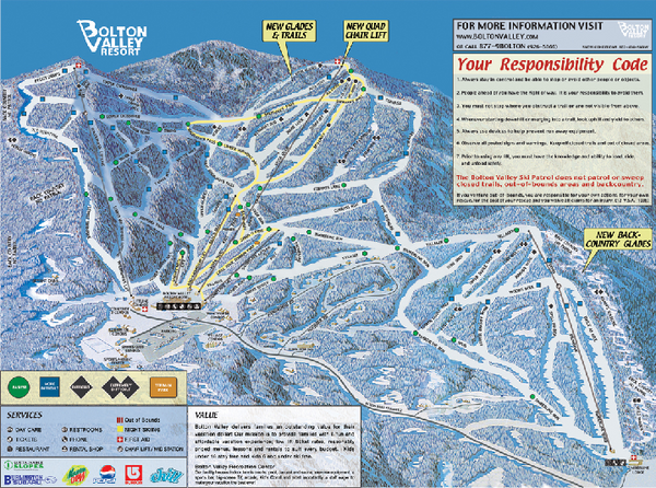
Bolton Valley Resort ski trail map
near 4302 Bolton Access Rd, Bolton Valley, VT 05477
See more

 See more
Nearby Maps

Bolton Valley Resort Ski Trail Map
Trail map from Bolton Valley Resort.
less than 1 mile away
Near Vermont, United States

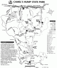
Camel's Hump State Park map
Map of Camel's Hump State Park, Vermont. Shows all hiking, snowmobile, and X-C ski trails...
5 miles away

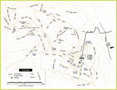
Trapp Ski Center Trail Map
Map of trails in the ski center at the Trapp Family Lodge
6 miles away
Near 700 Trapp Hill Road, Stowe, Vermont, USA

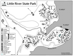
Little River State Park Campground Map
Campground map of Little River State Park in Vermont
6 miles away
Near Waterbury, Vermont 05676

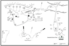
Underhill State Park Campground Map
Campground map for Underhill State Park in Vermont.
7 miles away
Near Underhill, Vermont 05490

Smugglers Notch Trail Map
Trail map for Smugglers Notch State Park in Vermont
8 miles away
Near 6443 Mountain Road, Stowe, Vermont 05672

 click for
 Fullsize


0 Comments
New comments have been temporarily disabled.