Edit this map

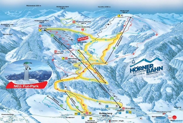
Bolsterlang Ski Trail Map

near Bolsterlang, Bavaria, Germany

View LocationView Map

47.460129797741 10.2268981933594 13 satellite
Nearest Map »  Fullsize
928 × 621188 KBJPG

Trail map from Bolsterlang.

Created 2007
From skimap.org

Skimap added
Aug 16, 2009

Rating
no ratings

See an error? Report it.

Keywords

recreation, skiing, ski area

0 Comments

New comments have been temporarily disabled.
.
See more

Nearby Maps

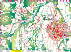
Oberstdorf City Map

Oberstdorf City Map

City map of Oberstdorf, Germany and surrounding area. Shows buildings and ski lifts. In German.

4 miles away

rated 4 by 2 people
Near Oberstdorf, Germany
Keywords: reference, city, skiing
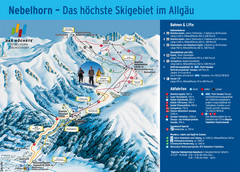
Oberstdorf Ski Trail Map

Oberstdorf Ski Trail Map

Trail map from Oberstdorf.

4 miles away

Near Oberstdorf, Germany
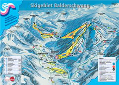
Balderschwang Balderschwang Ski Trail Map

Balderschwang Balderschwang Ski Trail Map

Trail map from Balderschwang.

5 miles away

Near Balderschwang, Bavaria, Germany
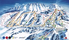
Oberjoch-Unterjoch Ski Trail Map

Oberjoch-Unterjoch Ski Trail Map

Trail map from Oberjoch.

7 miles away

Near 87541 Bad Hindelang, Germany
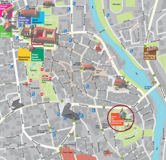
Kempten im Allgäu Tourist Map

Kempten im Allgäu Tourist Map

Tourist street map of Kempten im Allgäu

19 miles away

Near Kempten im Allgäu, Germany
Keywords: tourism, city, town
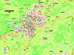
Lindenberg im Allgäu Map

Lindenberg im Allgäu Map

Street map of Lindenberg

19 miles away

Near Lindenberg im Allgäu, Germany
See more