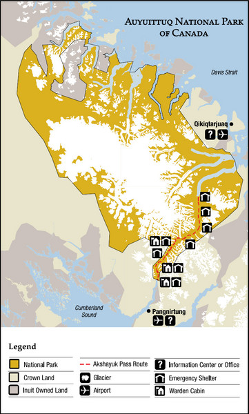
Auyuittuq National Park Map
near Kivitoo, Canada
View Location
Official map of Auyuittuq National Park. Shows glacier, emergency shelters, and warden cabins.
See more
 See more
Nearby Maps

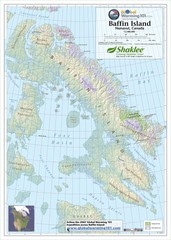
Baffin Island Map
Physical relief map shows national parks and permanent ice. See source for more info on back of...
146 miles away
Near Baffin Island

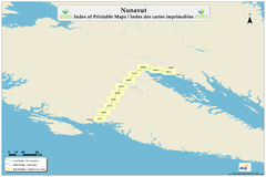
Trans Canada Trail - Nunavut : Index of Printable...
264 miles away

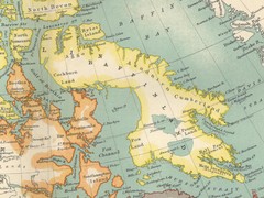
Baffin Island Map
278 miles away
Near Baffin Island

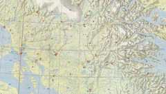
Central Baffin Island Map
289 miles away
Near Baffin Island

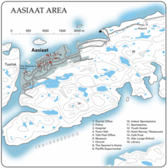
Aasiaat City Map
Clear map and legend of this beautiful city.
349 miles away
Near Aasiaat, Greenland

 click for
 Fullsize


0 Comments
New comments have been temporarily disabled.