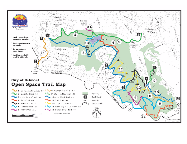
Water Dog Lake Park Trail Map
near Water Dog Lake Park, Belmont, CA
See more

 See more
Nearby Maps

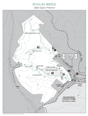
Pulgas Ridge Open Space Preserve Map
Trail map of Pulgas Ridge Open Space Preserve. 366 acres and 6 miles of trails
2 miles away
Near Pulgas Ridge, Redwood City, CA

San Mateo County Mid-County Trail Map
Trail map of mid-county trails in San Mateo County, California.
3 miles away
Near San Mateo County, California

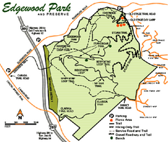
Edgewood County Park Trail Map
Trail map of Edgewood Park and Preserve in Redwood City, California.
3 miles away
Near Edgewood and Old Stage Roads, Redwood City...

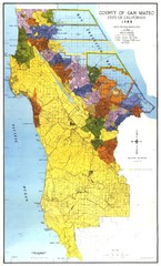
San Mateo County Map
Official county map of San Mateo, California. Scale 1"=5000'
4 miles away
Near San Mateo, California

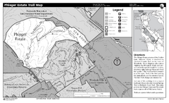
Phleger Estate Trail Map
Trail map of Phleger Estate, part of the Golden Gate National Recreation Area, in Woodside...
4 miles away
Near Woodside, California

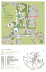
Cañada College Campus Map
Campus map of Cañada College, Redwood City, CA. Shows buildings.
5 miles away
Near Cañada College, Redwood City, CA

 click for
 Fullsize


0 Comments
New comments have been temporarily disabled.