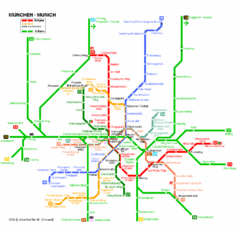
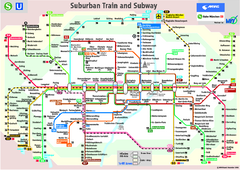
Munich Public Transportation Map
0 miles away
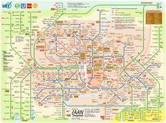
Munich public transportation system Map
This MVV network map, probably the best known one, shows all lines and stops for the urban rail and...
less than 1 mile away
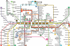
Munich Metro Map
Metro map of Munich, Germany. In German.
less than 1 mile away
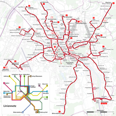
Salzburg Trolleybus Map
72 miles away
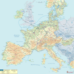
European Railway Map
85 miles away
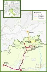
Northern Italy Bustransfer Map
109 miles away
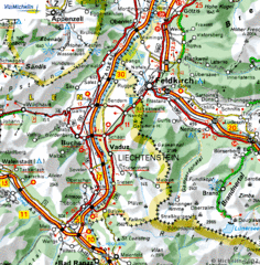
Liechtenstein road Map
117 miles away
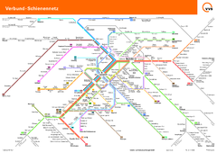
Stuttgart, Nahverkehr Map
119 miles away
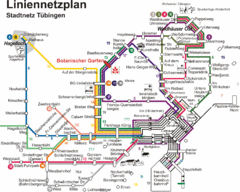
Tubingen Bus Map
Bus routes and connections, Tubingen, Germany. (German).
119 miles away
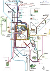
Trento Bus Route Map (Italian)
145 miles away
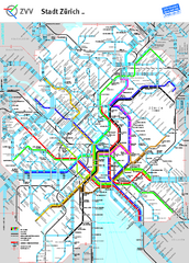
Zurich Metro Map
Official metro map from ZVV. Shows lines in central Zurich, Switzerland.
151 miles away
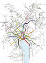
Zurich Transit Map
Map of transit routes throughout Zurich
151 miles away
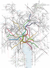
Zurich Tram Map
Map of tram system for Zurich and surrounding areas
151 miles away
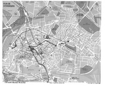
Strasbourg Map
Shows bus and tram itineraries to the Brethren Colleges Abroad office from the train station and...
179 miles away
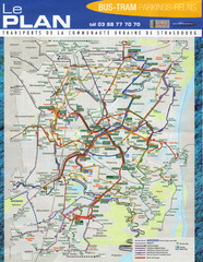
Strasbourg Bus and Tram Map
179 miles away
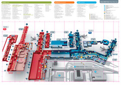
Praugue Airport Map
182 miles away
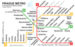
Prague Metro 2008 Map
186 miles away
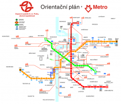
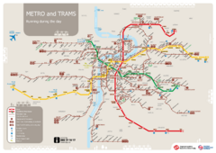
Prague Metro and Strret Car Map
Overview of Prague's metro and bus lines. Date unknown.
186 miles away
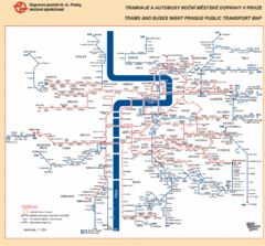
Prague Night Public Bus Tram Map
186 miles away
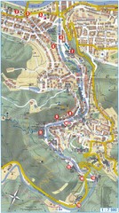
Transportation near Prague Map
Locations and destinations of transportation in and near Prague
186 miles away
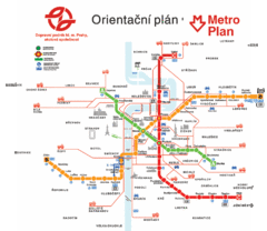
Prague Metro Map
186 miles away
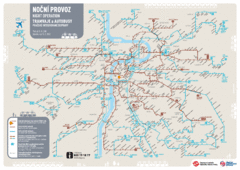
Tram Night Operation Map
186 miles away
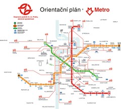
Prague Public Transport Map
Public transportation in Prague
186 miles away
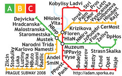
Prague Metro Map 2008 (for small displays)
Small version of Prague metro map of mobile phones, etc.
186 miles away
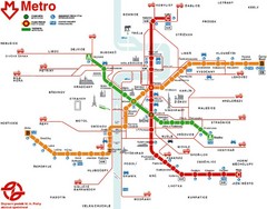
Prague Metro Map
186 miles away
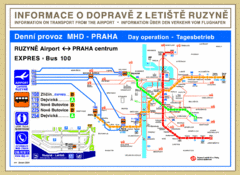
Prague Airport to Metro Map
186 miles away
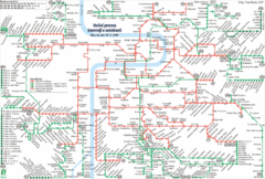
Prague Night Tram and Bus Lines Map
186 miles away
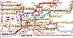
Prague Metro Map
Guide to Prague public transportation
187 miles away
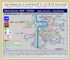
Prague Ruzyne Airport Night Public Transportation...
187 miles away
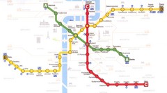
Prague Downtown Metro Map
Guide to public transportation in Prague
187 miles away
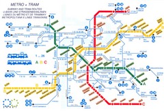
Prague (Praha) Metro Map
Guide to Prague Metro
188 miles away
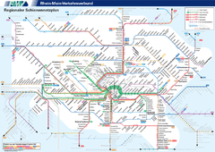
Frankfurt Nahverkehr Map
189 miles away
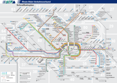
Frankfurt Nahverkehr Map
189 miles away
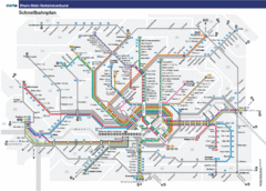
Frankfurt Subway Map (German)
189 miles away
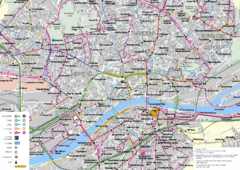
Frankfurt Public Transportation Map
Public transportation map of central Frankfurt, Germany. Shows bus and train routes.
189 miles away
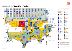
Frankfurt HBf Map
190 miles away

Frankfurt Airport Fern Bf Map
190 miles away
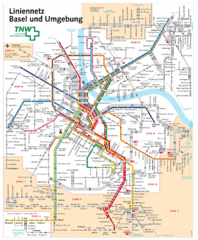
Basel Light Rail and Bus Map
190 miles away

