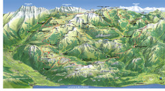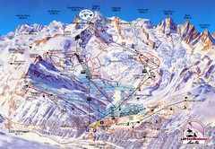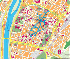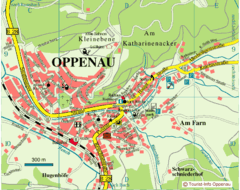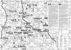
Villebois-Lavalette Tourist Map
Tourist map of Villebois-Lavalette, France and surrounding region. Shows points of interest. In...
0 miles away
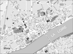
Blois Street Map
154 miles away

Sancerre Town Map
Town center of Sancerre, France. From Penguin edition, pages 13-16
177 miles away
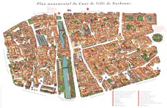
Narbonne Map
208 miles away
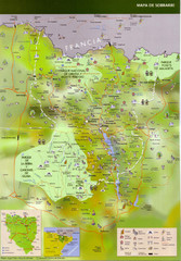
Sobrarbe Town Map
215 miles away
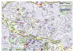
Montpellier Tourist Map
Tourist street map of Montpellier
219 miles away
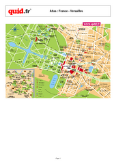
Versailles Tourist Map
Tourist street map of Versailles
246 miles away
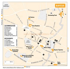
Bayeux Tourist Map
Tourist map of Bayeux, France shows accommodations and restauraunts
267 miles away

Valfrejus Town Street Map
Street map of the ski resort town of Valfrejus, France. Shows points of interest.
311 miles away

Chamonix Valley Town Map
Map of Chamonix Valley and ski locations
319 miles away
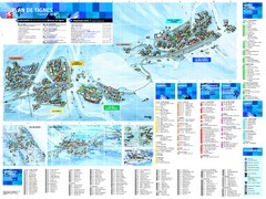
Tignes Ski Resort Town Map
Map of the ski resort town of Tignes, France. Shows residences, hotels, services, clubs, and other...
321 miles away
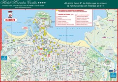
Gijon Tourist Map
Tourist street map of city
322 miles away
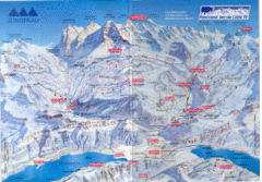
Jungfrau Map
376 miles away

Weil am Rhein Tourist Map
Tourist street map of Weil am Rhein
378 miles away
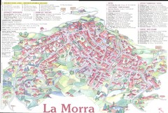
La Morra Map
378 miles away
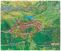
Bettmeralp Summer Map
Summer tourist map of town of Bettmeralp, Switzerland. With reference grid.
379 miles away
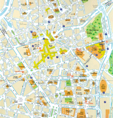
Lille Center Map
Street map of Lille city center
380 miles away
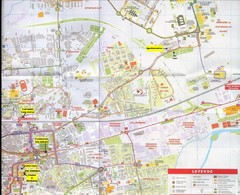
Alcala Map
Map of Alcalá de Henares, Spain. In Spanish. Scanned.
390 miles away
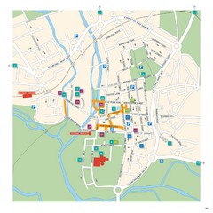
Salisbury Tourist Map
Tourist map of central Salisbury, UK. Shows parking and key for points of interest.
399 miles away
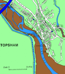
Topsham Street Map
400 miles away
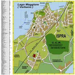
Ispra Town Map
Town map of Ispra, Italy on east side of Lake Maggiore (Lombardy region, Northern Italy). With...
403 miles away
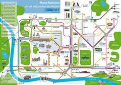
Madrid Bus Tourist Map
Tourist map of bus transit
403 miles away
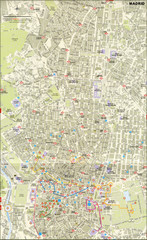
Madrid City Center Map
404 miles away
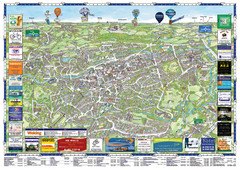
Woking Tourist Map
Tourist map of Woking, Surrey, England. Oblique/3D town map with ads.
406 miles away
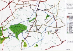
Hoath Town Map
Handwritten map of town of Hoath, England near Canterbury.
407 miles away
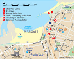
Margate Tourist Map
Tourist map of Margate, England.
412 miles away
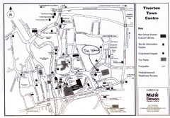
Tiverton Town Center Map
Black and white map shows major streets in Tiverton, Devon.
414 miles away
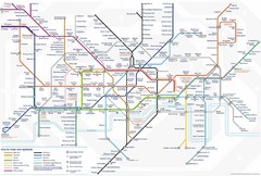
Tube Map
Map of London's Tube transportation lines and stops
417 miles away
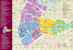
Reading Tourist Map
Tourist map of city center of Reading, England. Shows attractions and other tourist points of...
418 miles away
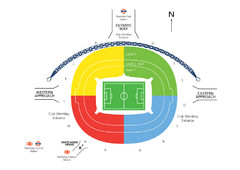
UK Wembley Stadium Map
422 miles away
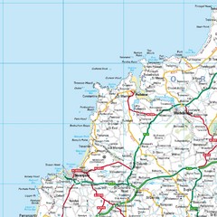
Cornwall Coast Map
Map of coast cities in Cornwall
422 miles away
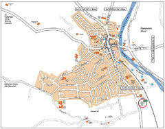
Henley-on-Thames Map
423 miles away
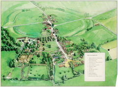
Avebury Tourist Map
Tourist map of Avebury, England. Shows Avebury Henge. From photo.
423 miles away
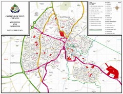
Chippenham Town Map
429 miles away
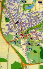
Bad Durrheim Map
Street map of Bad Durrheim
429 miles away
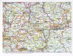
Gerhardsbrunn Map
430 miles away

