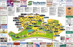
Southpointe Community Map
Tourist map of planned community in Pennsylvania
0 miles away
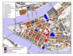
Pittsburgh Tourist Map
14 miles away
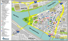
Pittsburgh Tourist Map
14 miles away
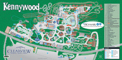
Kennywood Theme Park Map
"America's Finest Traditional Amusement Park" is the slogan for this fun, high rated...
18 miles away
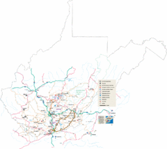
Southern West Virginia Tourist Map
Cities in the southern part of West Virginia.
66 miles away
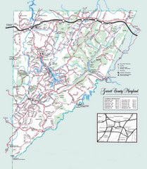
Garrett County, Maryland Guide Map
68 miles away
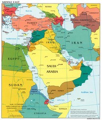
Middle East Political Map
87 miles away
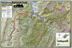
Trailmap72dpi Big Map
Detailed map of Allegheny Highland Trails and surrounding locations.
88 miles away
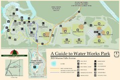
Waterworks Park Map
90 miles away
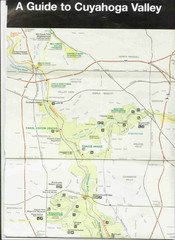
Cuyhoga National Park Map
99 miles away
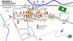
Beverly Historic District map
Tourist map of Historic Beverly of Randolph County, West Virginia.
101 miles away
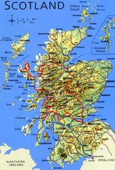
Scotland Tourist Map
106 miles away
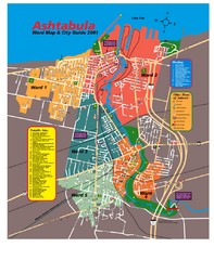
Ashtabula Tourist Map
Tourist map of Ashtabula, Ohio, situated on Lake Erie. Shows wards, notable sites, boating info...
115 miles away
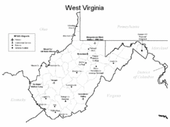
West Virginia Airports Map
118 miles away
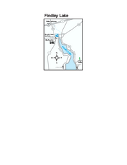
Findley Lake Map
Tourist map of Findley Lake, New York. Shows shops, lodging and hiking trails.
129 miles away
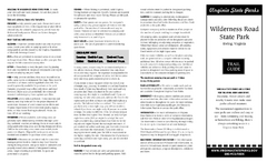
Wilderness Road State Park Map
Clearly marked state park map and legend.
132 miles away
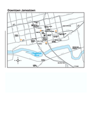
Downtown Jamestown Map
Tourist map of Downtown Jamestown, New York. Shows shops, parking, cinemas, hotels, and government...
134 miles away
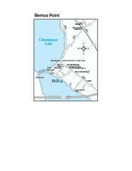
Bemus Point Map
Tourist map of Bemus Point, NY. Shows lodging, parks, shops, restaurants, and other points of...
136 miles away
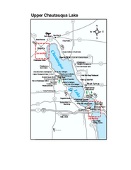
Upper Chautauqua Lake Map
Tourist map of upper Chautauqua Lake, New York. Shops, lodging, and other points of interest in the...
139 miles away
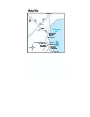
Downtown Mayville Map
Tourist map of Downtown Mayville, New York. Shows museums, restaurants, shops, government buildings...
141 miles away
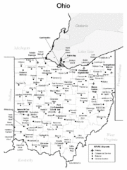
Ohio Airports Map
145 miles away
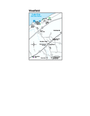
Westfield Map
Tourist map of Westfield, New York, and surrounding area. Shows shops, museums, boat ramps and...
145 miles away
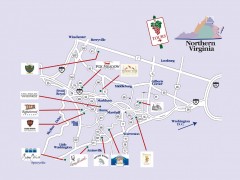
Blue Ridge vineyards map
Winery map of the Blue Ridge area of Virginia, showing wineries and vineyards.
147 miles away
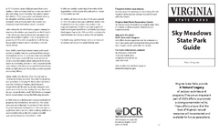
Sky Meadows State Park Map
Clearly marked state park map.
148 miles away
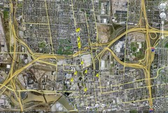
Restaurants in Columbus, Ohio Map
Local and chain restaurants in Columbus, Ohio
151 miles away
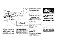
Shenandoah River State Park Map
Detailed map and legend of this beautiful state park.
153 miles away
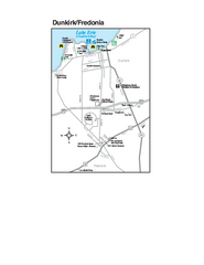
Dunkirk and Fredonia, New York Map
Tourist map of Dunkirk, New York, and Fredonia, New York. Shows shops, parks, lodging and other...
157 miles away
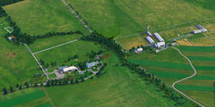
Eisenhower Farm National Historic Site Map
Visitor map of former US president Dwight D. Eisenhower's farm, a National Historic Site. 1.5...
158 miles away
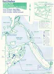
East Harbor State Park Map
163 miles away
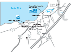
Silver Creek and Irving Map
Tourist map of Silver Creek and Irving, New York. Shows shops, boat ramps, and marinas.
166 miles away
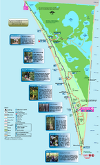
Point Pelee National Park Map
Large and clear national park map
166 miles away
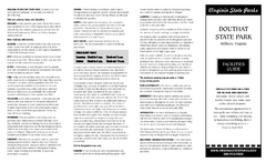
Douthat State Park Map
Clear state park map with marked facilities.
168 miles away
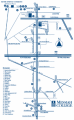
South Pennsylvania Restaurant Map
168 miles away
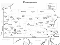
Pennsylvania Airports Map
168 miles away
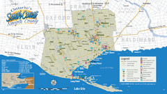
Norfolk County Tourist Map
Tourist map of Norfolk County, Ontario.
169 miles away
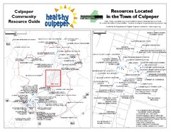
Culpeper, Virginia City Map
Locations and resources in Culpeper
171 miles away
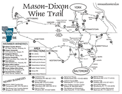
Mason-Dixon Wine Trail Map
Map of the Mason-Dixon Wine Trail, showing area wineries, historical sites, and lodging.
176 miles away
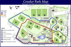
Cousler Park Map
181 miles away
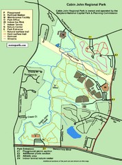
Cabin John Regional Park Map
182 miles away

