
Map of Fire Island National Seashore
Official Map of Fire Island National Seashore in New York. Shows all towns and information.
0 miles away
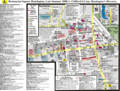
Huntington, New York Restaurant Map
19 miles away
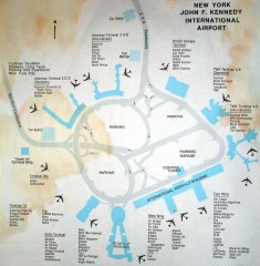
John F. Kennedy International Airport Map
Terminal and Road map of John F. Kennedy International Airport.
27 miles away

Queens Botanical Garden Map
Shows facilities and names of different gardens. In many languages.
31 miles away
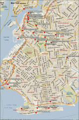
Brooklyn Attractions map
Map of attractions and points of interest in Brooklyn, New York.
36 miles away
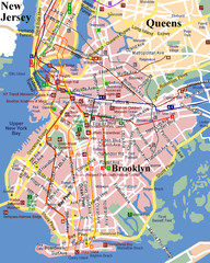
Brooklyn, Attractions Map
36 miles away
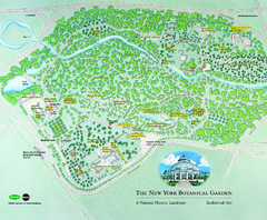
The New York Botanical Garden Map
Official Map of The New York Botanical Garden in New York. Shows all areas and different gardens.
36 miles away
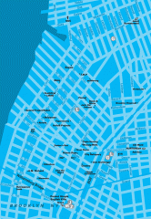
Williamsburg Art Gallery map
Map of Williamsburg and Greenpoint art galleries in Brooklyn, New York. Shows subway stops as well.
37 miles away
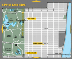
Upper East Side New York Hotel Map
38 miles away
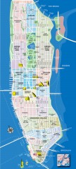
Manhattan Tourist Map
Tourist map of Manhattan, showing Museums, buildings of interest, and various neighborhoods.
38 miles away
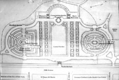
Central Park Conservatory Garden Map
Map of the Conservatory Garden in Central Park, New York City. Photo of outdoor map.
38 miles away
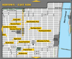
Midtown East Side New York City Hotel Map
38 miles away

The Metropolitan Museum of Art Floor Plan Map
Official Floor Plan for the Metropoltan Museum of Art in New York City. All areas and exhibits...
38 miles away
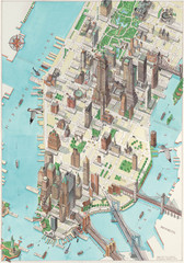
Manhattan New York Map
Aerial map of New York illustrated by UK illustrator Katherine Baxter.
38 miles away
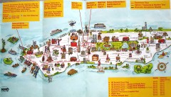
Manhattan Citysites Tour map
Map of the Citysites bus tour routes in Manhattan, New York.
38 miles away
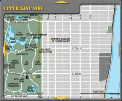
Upper East Side New York Tourist Map
38 miles away
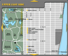
Maison Ave New York City Shopping Map
38 miles away
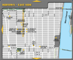
Midtown East Side New York City Map
38 miles away
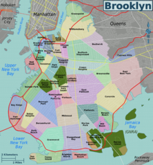
Brooklyn, Neighborhoods Map
38 miles away
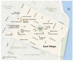
East Village walking tour map
Walking tour of the East Village in New York City, showing points of interest.
38 miles away
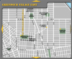
East Greenwich Village New York City Tourist Map
38 miles away
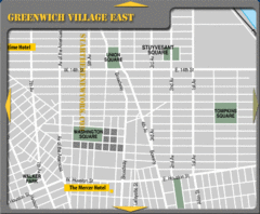
Greenhich Village New York City Hotel Map
38 miles away
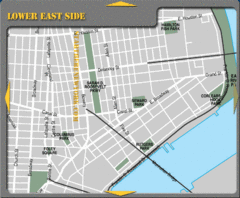
Lower Eastside New York City Hotel Map
38 miles away
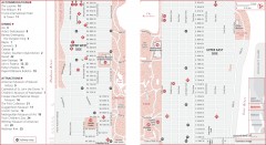
Uptown Manhattan, New York Map
Tourist map of uptown Manhattan in New York City, New York. Attractions, accommodations, and...
39 miles away
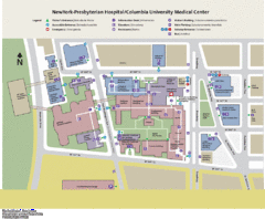
Columbia University Medical Center Map
39 miles away
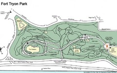
Fort Tyron Park Map
39 miles away
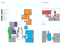
The Morgan Library Floor Plan, New York Map
The Morgan Library Floor Plan. Shows all floors and exhibits. Located at Madison Avenue and 36th...
39 miles away
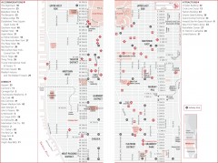
Midtown Manhattan, New York Map
Tourist map of midtown Manhattan in New York City, New York. Shows accommodations, restaurants, and...
39 miles away

Floor Plan of the Museum of Natural History, New...
Official Floor Plan of the Museum of Natural History in New York. All areas and exhibits shown.
39 miles away

Broadway Elevation Map
Illustrative section of Broadway, from 125th Street to 134th Street, looking east
39 miles away
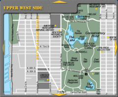
Upper West Side New York Tourist Map
39 miles away
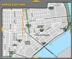
Lower Eastside New York City Tourist Map
39 miles away
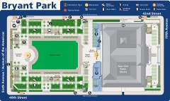
Map of Bryant Park
Map of Bryant Park in New York City
39 miles away
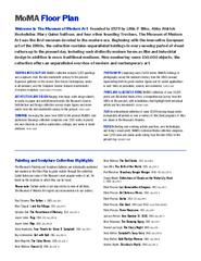
Floor Map of the Museum of Modern Art, New York
Official Floor Map of the MOMA in New York, NY. All floors and exhibits shown.
39 miles away
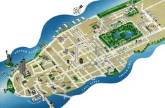
Manhattan Tourist Map
Simplified tourist map of Manhattan. Shows major NYC landmarks.
39 miles away
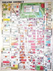
Times Square Map
Map of the Times Square area of New York City. Shows all areas.
39 miles away
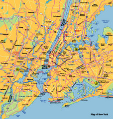
New York City Map
39 miles away

New York City Tourist Map
39 miles away
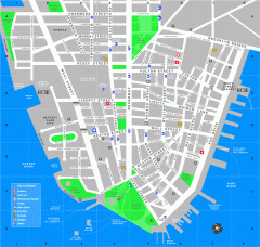
Downtown Manhattan Tourist Map
Detailed tourist map of Downtown Manhattan showing points of interest and modes of transportation
39 miles away
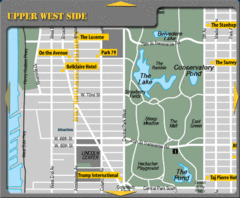
Upper West Side New York Hotel Map
39 miles away

