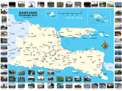
East Java Tourism Map
Tourist map of East Java, Indonesia. Shows photos of points of interest.
0 miles away
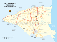
Sidoarjo Tourist Map
Tourist/road map of Sidoarjo Regency in Indonesia
21 miles away
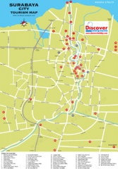
Surabaya Tourist Map
Tourist map of Surabaya, Indonesia
28 miles away
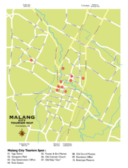
Malang City Tourism Map
Tourist map of Malang City, Indonesia. Shows points of interest.
31 miles away
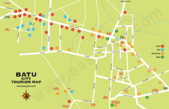
Batu City Map
32 miles away
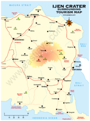
Ijen Crater Tourist Map
Tourist map of Ijen Crater and surrounding area on East Java, Indonesia
87 miles away
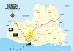
Pacitan Tourist Map
Tourist map of Pacitan, Indonesia
127 miles away
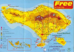
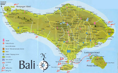
Bali Tourist Map
Tourist map of island of Bali. Shows points of interest. Scanned.
158 miles away
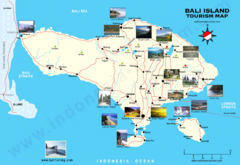
Bali Tourist Map
Tourist map of island of Bali, Indonesia. Shows photos of points of interest.
158 miles away
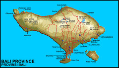
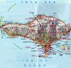
Bali Map
Map of Bail showing cities, roads, parks and elevations.
165 miles away
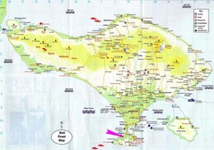
Bali Tourist Map
165 miles away
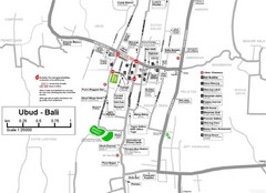
Ubud Tourist Map
Shows points of interest in town of Ubud, Bali
169 miles away
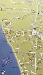
South West Bali Tourist Map
Places of interest.
170 miles away
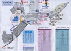
Muju Resort Guide Map
172 miles away
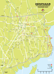
Denpasar Tourist Map
Shows city of Denpasar and Sanur Beach.
173 miles away
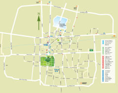
Yogyakarta Tourist Map
Locations and areas in Yogyakarta
175 miles away
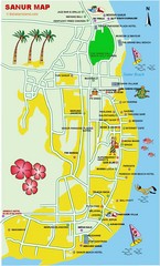
Sanur Guide Map
Main attractions for sightseers in Sanur
176 miles away
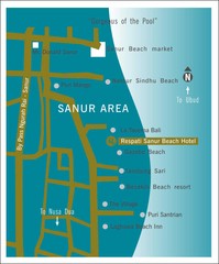
Sanur Tourist Map
176 miles away
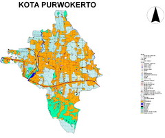
Purwokerto City Map
254 miles away
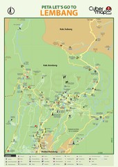
Lembang Tourism Map
367 miles away
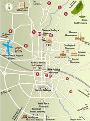
Bandung Tourist Map
City center tourist map of local attractions
368 miles away
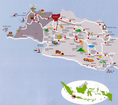
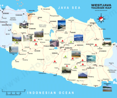
West Java Indonesia Tourist Map
Pictorial tourist Map of West Java, Indonesia also showing roads and cities.
411 miles away
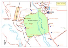
Central of Bogor City Map
Bogor is one of the main tourist destination in West Java which has been known since long ago for...
426 miles away
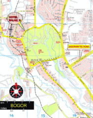
Bogor Map
426 miles away
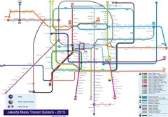
Jakarta Bus System Map
428 miles away
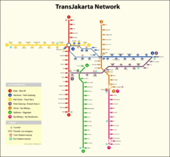
Jakarta Bus System Map
428 miles away
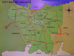
Jakarta City Map
City map of Jakarta, Indonesia. Shows major roads.
429 miles away
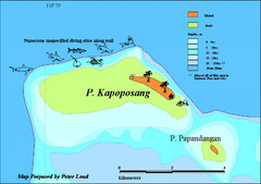
Kapoposang Map
Kapoposang National Marine Park may not be as well-known as other celebrated diving resorts, like...
462 miles away
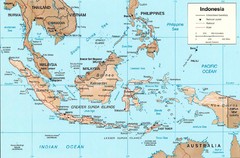
Indonesia Island Map
479 miles away
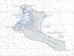
Kiritimati (Christmas) Island Tourist Map
531 miles away
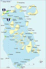
Taka Bonerate Map
The Bonerate National Park is home to the third biggest atoll in the world after Kwajifein in the...
534 miles away
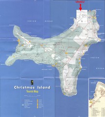
Christmas Island Tourist Map
Christmas Island Tourist Map showing roads, hiking trails, park amenities.
534 miles away
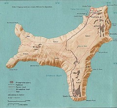
Christmas Island Tourist Map
536 miles away

Rantepao Tourism Map
Tourist map of Rantepao, Indonesia. Shows hotels, restaurants, and banks.
579 miles away
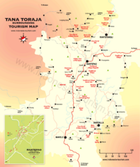
Tana Toraja Tourist Map
Tana Toraja tourist map with inset of Rantepao, Indonesia
579 miles away

