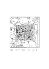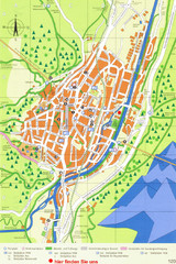
Mittenwald Tourist Map
Tourist street map
0 miles away
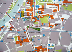
Innsbruck Tourist Map
Tourist map of inner Innsbruck, Austria. Photo of outdoor map.
14 miles away
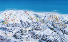
Gerlos Ski Resort Map
Ski map for Gerlos, Austria. Includes ski runs, lifts, mountains with elevations and amenities.
39 miles away
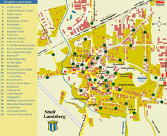
Landsberg Tourist Map
tourist map of town of Landsberg
42 miles away
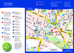
Bad Aibling Tourist Map
Tourist parking map of downtown Bad Aibling
45 miles away
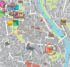
Kempten im Allgäu Tourist Map
Tourist street map of Kempten im Allgäu
49 miles away
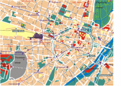
Munich Tourist Map
Tourist map of central Munich (München), Germany.
50 miles away
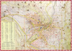
Merano Map
54 miles away
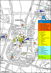
Garching Tourist Map
Tourist map of Garching bei Munchen, Germany. Shows hotels, restaurants and the most important bus...
59 miles away
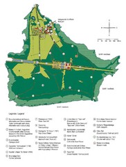
Chiemsee Island Germany Tourist Map
Tourist map of the island showing all the tourist sites.
60 miles away
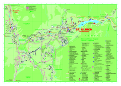
St. Ulrich am Pillersee Map
Village map of St. Ulrich am Pillersee, Austria
62 miles away
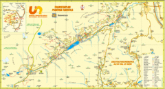
Ultental Deutschnonsberg St. Walburg Tourist Map
Tourist map of the southern Tyrol region around Ultental, Deutschnonsberg, and St. Walburg/ S...
64 miles away
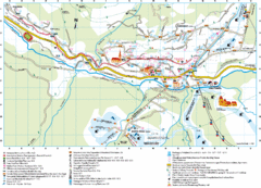
Santa Cristina Tourist Map
Tourist map of town of Santa Cristina Val Gardena, Italy. Santa Cristina lies on the sunny side of...
65 miles away
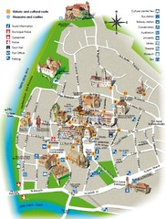
Bolzano tourist map
65 miles away
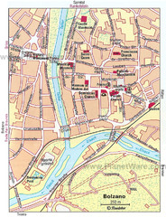
Bolzano centro Map
66 miles away
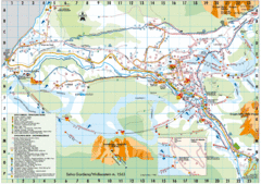
Selva Gardena Tourist Map
Tourist map of Selva Gardena, Italy, a popular skiing and hiking destination in the Italian Alps.
66 miles away
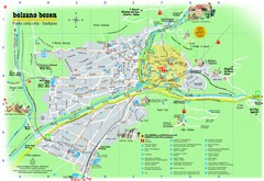
Bolzano Tourist Map
Tourist map of Bolzano, Italy.
66 miles away
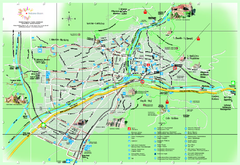
Bolzano Map
66 miles away
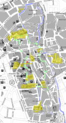
Augsburg Tourist Map
Tourist street map of downtown Augsburg
66 miles away
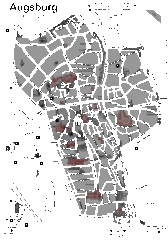
Augsburg Tourist Map
Shows central Augsburg and its sights.
66 miles away
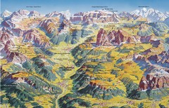
Val Gardena Summer Trail Map
Summer panoramic trail map of the Val Gardena, Italy area in the heart of the Dolomite Mountains...
67 miles away
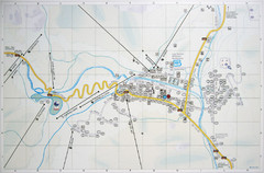
Corvara Town Map
Tourist map of Corvara, Italy in the Dolomites. From photo of sign
68 miles away
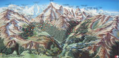
Sulden Trafoi Summer Hiking Map
Summer hiking route map of Sulden (Solda) Italy, Trafoi, Italy and Stelvio, Italy. Shows hiking...
72 miles away
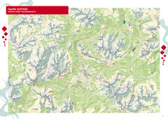
Cortina d'Ampezzo Hiking Map
Summer hiking map of the Cortina d'Ampezzo, Italy area in the heart of the Dolomite Mountains...
72 miles away
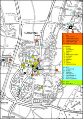
Garching Map
Map of Garching, a suburb to the north of Munich, with hotels, restaurants and bus stops marked.
78 miles away
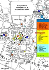
Map of the city of Garching, Germany
General visitor information including the locations of restaurants, hotels, bus stops and more.
78 miles away
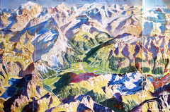
Bormio Panorama Map
Panorama tourist map of Bormio, Italy. Shows Ortler Alps in distance. From photo.
79 miles away
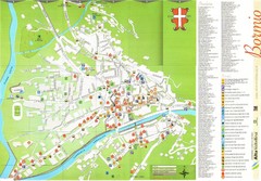
Bormio Tourist Map
Tourist map of town of Bormio, Italy. Legend of all streets and services.
80 miles away
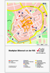
Biberach an der Riß Tourist Map
Tourist map of Biberach an der Riß town center
82 miles away
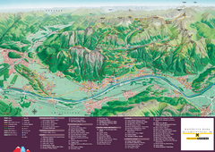
Liechtenstein Tourist Map
Tourist map of the country of Liechtenstein. Panoramic view shows all towns, trails, and mountains.
82 miles away
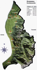
Liechtenstein Tourist Map
82 miles away
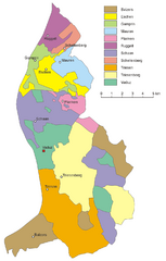
Liechtenstein Tourist Map
82 miles away
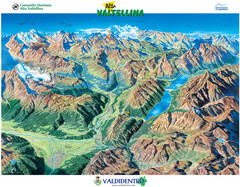
Valdidentro Alta Valtellina Summer Map
Panorama tourist map of the region of Valdidentro Alta Valtellina from Bormio, Italy to Livigno...
82 miles away
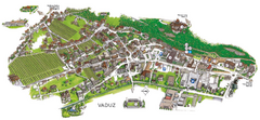
Vaduz Town Map
Tourist map of town of Vaduz, Liechtenstein. Panoramic view shows buildings and streets.
84 miles away
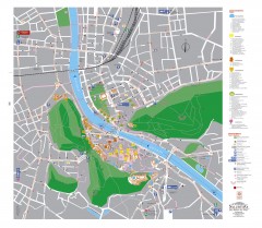
Salzburg Tourist Map
Tourist map of Salzburg, Austria. In German.
87 miles away
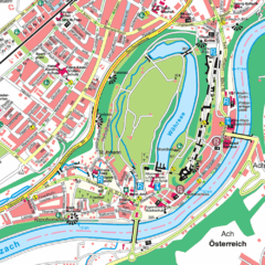
Burghausen Tourist Map
Tourist street map of Burghausen
88 miles away
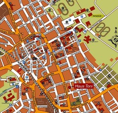
Bad Saulgau Tourist Map
Tourist street map of Bad Saulgau town center
91 miles away

St. Moritz Tourist Map
Tourist map of St. Moritz, Switzerland. Shows summer and winter points of interest.
94 miles away
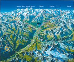
Engadin St. Moritz Region Summer Map
Summer panoramic tourist map of Engadin region of Switzerland. Includes St. Moritz, Piz Bernina...
94 miles away

