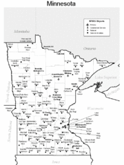
Minnesota Airports Map
0 miles away
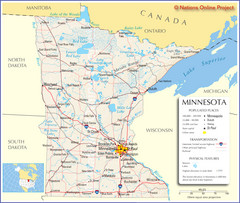
Minnesota Tourist Map
0 miles away
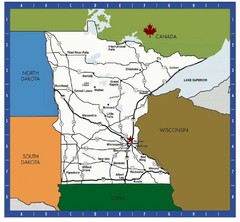
Minnesota Tourist Map
0 miles away
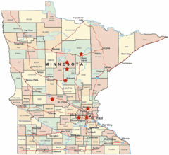
Minnesota County Map
0 miles away
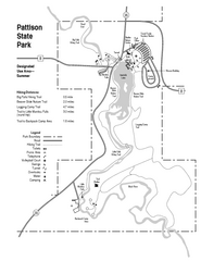
Pattison State Park Map
Great trails for a wonderfully relaxing summer vacation.
123 miles away
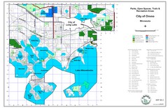
Orono City Park Map
132 miles away
Amnicon Falls State Park Map
Marked trails, picnic sites, bridges, toilets, ect. make the hike around the beautiful Amnicon...
132 miles away
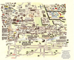
Taylors Falls Restaurant Map
134 miles away
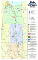
Wild Rivers Trail Map
A multitude of trails and rivers are clear to read on this map.
135 miles away
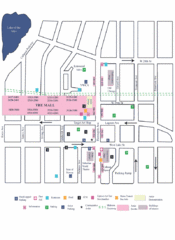
Uptown Art Walk, Minneapolis - St. Paul...
136 miles away
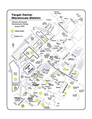
Warehouse District, Minneapolis Map
Tourist map of the Warehouse District in Minneapolis, Minnesota. Shows theaters, restaurants...
139 miles away
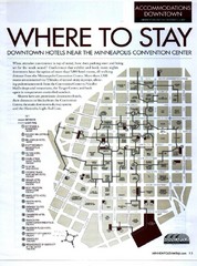
Minneapolis Hotel Map
139 miles away
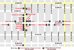
Lyn Lake-Minneapolis Restaurant Map
140 miles away
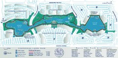
Centennial Lakes Park Map
145 miles away
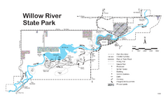
Willow River State Park Map
Easily read map with detailed markings.
153 miles away
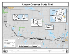
Ammery Dresser Trail Map
Easy to follow trail map.
155 miles away
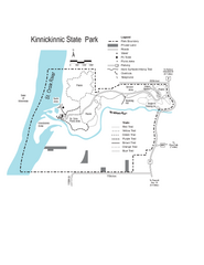
Kinnickinnic State Park Map
Map detailing hiking routes and stops along the way.
161 miles away
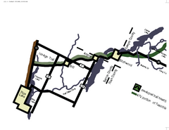
Tuscobia Map
Lakes and trails are easy to follow on this map.
162 miles away
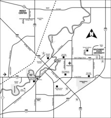
City of Marshall Visitor's Map
City of Marshall Visitor's Map describes the location of basic needs as well as recreational...
167 miles away
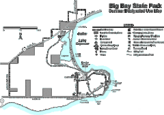
Big Bay State Park Map
Detailed map of nice hikes and stops around Big Bay State Park near Lake Superior.
190 miles away
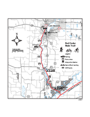
Red Cedar State Trail Map
Detailed trail map.
196 miles away
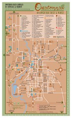
Owatonna Map
Visitor Map of Owatonna, Minnesota. Includes all streets, highways, restaurants, hotels, parks and...
196 miles away
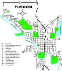
Windom City Parks Map
199 miles away
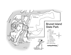
Brunet Island State Park Map
Easy to read legend.
201 miles away
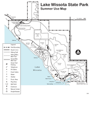
Lake Wissota State Park Map
Easy hiking along the beautiful water front.
203 miles away
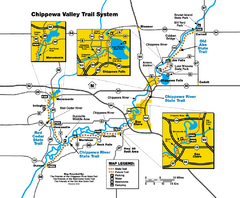
Chippewa Valley Trail System Map
Multiple trails and hiking routes in the Chippewa Valley.
205 miles away
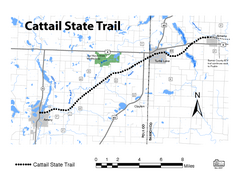
Cat Tail State Trail Map
Map marking trails, bike routes, shelter, toilets and more.
209 miles away
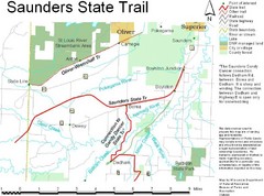
Saunders State Trail Map
Points of interest, lakes, roads, forests and more are marked on this map's key.
210 miles away
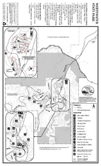
Whitewater State Park Map
map of park with detail of trails and recreation zones
225 miles away
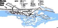
Merrick State Park Map
Beautiful hikes around the waterfront.
228 miles away
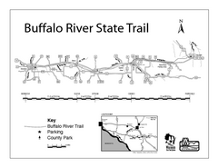
Buffalo River State Trail Map
Detailed map of excited hike through nature's finest.
230 miles away
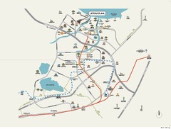
Stratum Condominium in Singapore Map
Stratum Condominium in Singapore offers great units and facilities to all their clients. With high...
236 miles away
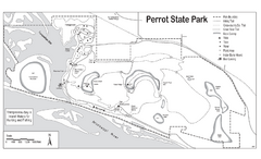
Perrot State Park Map
Have a wonderful vacation hiking through this natural setting.
245 miles away
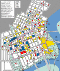
Winnipeg Parking and Walking Map
Shows parking facilities and walking points of interest in downtown Winnipeg, Manitoba, Canada.
246 miles away
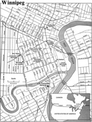
Winnipeg, Manitoba City Map
246 miles away
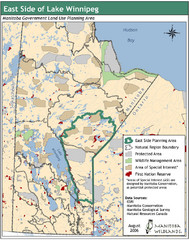
Winnipeg, Manitoba City Map
246 miles away
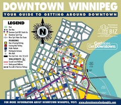
Winnipeg, Manitoba City Map
246 miles away
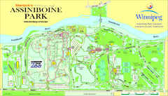
Assiniboine Park Map
247 miles away
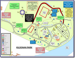
Kildonan Park, Winnipeg, Manitoba Tourist Map
249 miles away
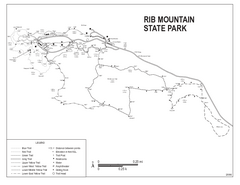
Rib Mountain State Park Map
Simple state park map with nice hiking trails.
271 miles away

