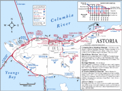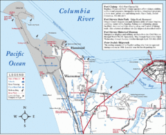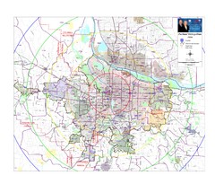
Portland, Oregon Tourist Map
0 miles away
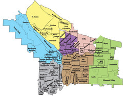
Portland, Oregon Neighborhood Map
0 miles away
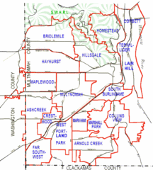
Portland, Oregon Neighborhood Map
0 miles away
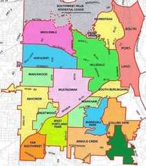
Portland, Oregon Neighborhood Map
0 miles away
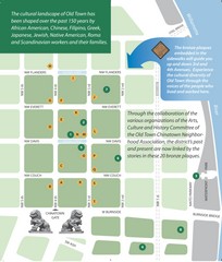
Old Town-China Town Map
Portland's oldest neighborhoods and history are easily seen in Old Town-China Town.
less than 1 mile away
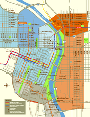
Central Portland, Oregon Map
Tourist map of Portland, Oregon. Shows museums, sports arenas, parks, and public transportation.
less than 1 mile away
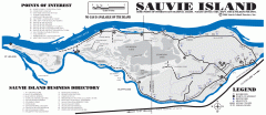
Sauvie Island tourist map
Tourist map of Sauvie Island in Oregon. Shows all businesses and points of interest.
16 miles away
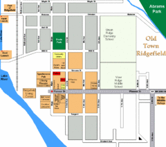
Guide Map of Old Town Ridgefield
Guide Map of Old Town Ridgefield, Washington
20 miles away
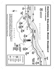
Historic Columbia River Highway Map
Official map from the US Forest Service. Shows the Corbett to Dodson stretch of Highway 30 with...
28 miles away
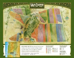
Van Duzer Vineyard Map
"A colorful vineyard map that shows the location of Van Duzer’s numerous grape varietals...
47 miles away
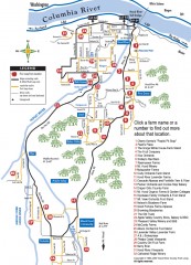
Hood River County Fruit Loop map
35-mile scenic drive through the valley's orchards, forests, farmlands, and friendly...
56 miles away
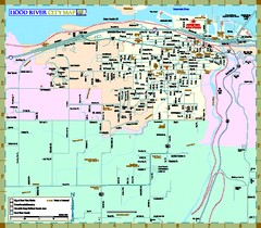
Hood River Map
Tourist map of city of Hood River, Oregon.
57 miles away
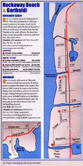
Rockaway Beach Map
62 miles away
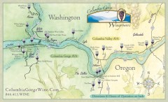
Columbia Gorge Wine Map
Wineries of the Columbia River Gorge area, Oregon.
74 miles away
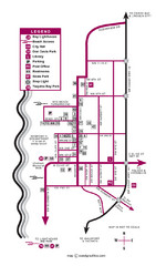
Nye Beach Tourist Map
91 miles away
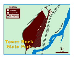
Tower Rock State Park Map
Tower Rock State Park is one of Montana's newest state parks. The 400-foot high igneous rock...
120 miles away
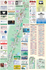
Milton tourist map
Tourist map of Milton, Washington. Shows all businesses.
121 miles away
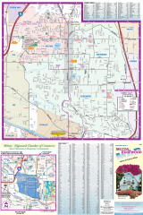
Milton and Edgewood tourist map
Tourist map of Milton and Edgewood, Washington. Shows all businesses.
121 miles away
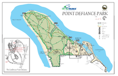
Point Defiance Park Map
124 miles away

Des Moines Washington tourist map
Tourist map of Des Moines, Washington, including Kent and SeaTac airport.
131 miles away

Tourist map of Downtown Des Moines, Washington
Tourist map of Downtown Des Moines, Washington. Shows all businesses.
131 miles away
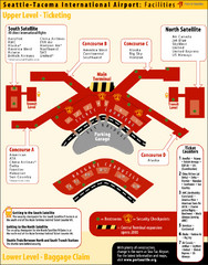
SeaTac Airport Map
134 miles away
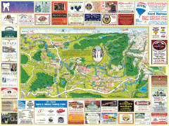
Snoqualmie tourist map
Snoqualmie, Washington tourist map. Shows all businesses.
143 miles away
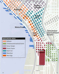
Seattle Neighborhoods Map
Map outlines several neighborhoods in Seattle, Wahsington
143 miles away
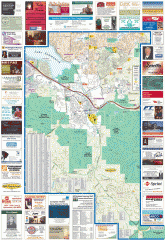
Issaquah tourist map
Issaquah, Washington tourist map. Shows all businesses.
144 miles away
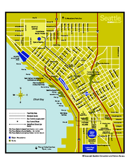
Downtown Seattle, Washington Map
Tourist map of downtown Seattle, Washington. Shows locations of Space Needle, Experience Music...
145 miles away
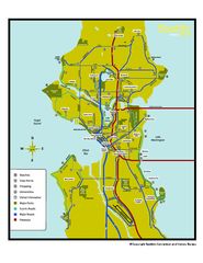
Neighborhoods of Seattle, Washington Map
Tourist map of Seattle, Washington, showing neighborhoods, parks, and scenic drives.
145 miles away
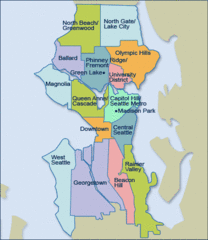
Seattle Neighborhood Map
145 miles away
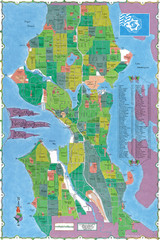
Seattle Neighborhood Map
145 miles away
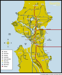
Seattle, Washington City Map
145 miles away
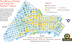
Seattle City Parks Map
145 miles away
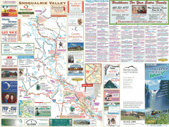
Snoqualmie Valley tourist map
Tourist map of the Snoqualmie Valley, Washington. Shows all businesses.
146 miles away
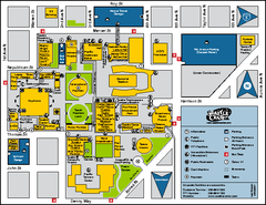
Seattle City Center, Washington Map
Map of points of interest in Seattle Center. KeyArena, the Space Needle, theaters, parking and...
146 miles away
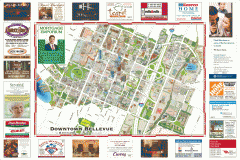
Tourist map of Downtown Bellevue
Tourist map of Downtown Bellevue, Washington. Shows all businesses.
146 miles away
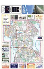
Bellevue tourist map
Tourist map of Bellevue, Washington. Shows all businesses.
146 miles away
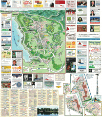
Sammamish tourist map
Sammamish, Washington tourist map. Shows all businesses.
146 miles away
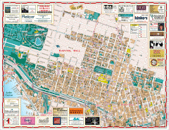
Capitol Hill tourist map
Tourist map of Capitol Hill in Seattle, Washington. Shows all businesses.
147 miles away
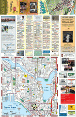
Queen Anne tourist map
Tourist map of Queen Anne, Washington. shows all businesses.
147 miles away

