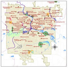
Des Moines Parks Map
0 miles away
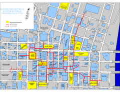
Des Moines Skywalks Map
less than 1 mile away
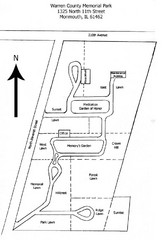
Warren County Memorial Park Map
16 miles away
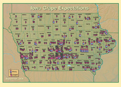
Iowa Grape Expectations Map
Shows concentration of vineyards and wineries across state of Iowa.
26 miles away
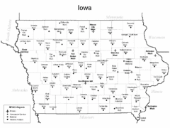
Iowa Airports Map
33 miles away
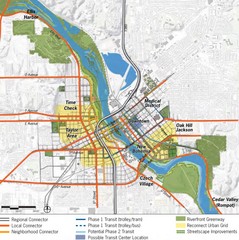
Cedar Rapids Tourist Map
104 miles away
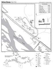
Nelson Dewey State Park Map
Easy trails for you to walk on your vacation.
154 miles away
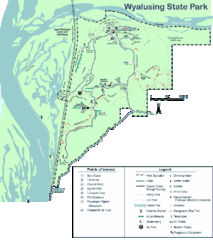
Wyalusing State Park Map
Detailed Park Map.
159 miles away
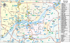
Quad Cities Area, Illinois Map
Tourist map of the Quad Cities Area, Illinois. Shows lodging as well as museums, golf courses...
161 miles away
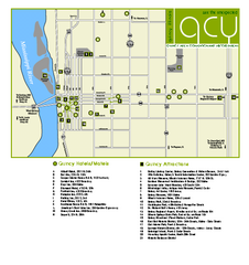
Downtown Quincy, Illinois Map
Tourist map of downtown Quincy, Illinois, showing lodging opportunities, visitors centers, museums...
163 miles away
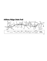
Military Ridge State Trail Map
Simple map marking trail route.
166 miles away
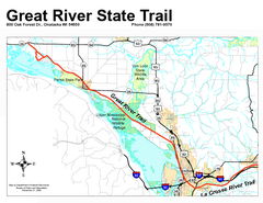
Great River State Trail Map
Nice hike through natural settings along a beautiful river.
168 miles away
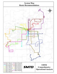
Lincoln Bus Map
169 miles away
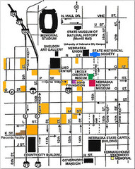
Downtown Lincoln, Nebraska Map
Red is the Nebraska History Museum. School bus parking is on the west side of 15th Street in front...
169 miles away
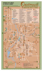
Owatonna Map
Visitor Map of Owatonna, Minnesota. Includes all streets, highways, restaurants, hotels, parks and...
173 miles away
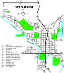
Windom City Parks Map
175 miles away
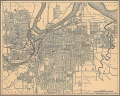
Antique map of Kansas City from 1907
Antique Map of Kansas City From The New Encyclopedic Atlas and Gazetteer of the World, Edited by...
180 miles away
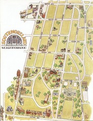
Southmoreland, Kansas City Tourist Map
184 miles away
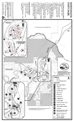
Whitewater State Park Map
map of park with detail of trails and recreation zones
187 miles away
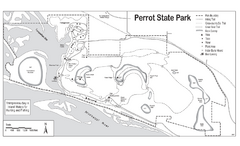
Perrot State Park Map
Have a wonderful vacation hiking through this natural setting.
200 miles away
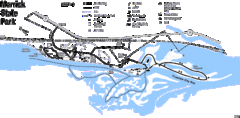
Merrick State Park Map
Beautiful hikes around the waterfront.
200 miles away
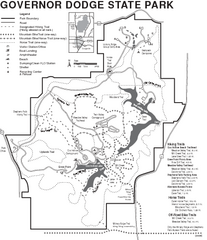
Governor Dodge State Park Map
Bike, Horse, trek, and recreational locations marked on this map.
205 miles away
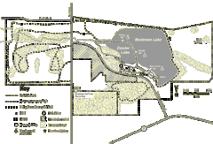
Browntown-Cadiz Springs State Recreation Area Map
Detailed map containing locations on shelters, parks, trails, and toilets.
208 miles away
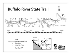
Buffalo River State Trail Map
Detailed map of excited hike through nature's finest.
209 miles away
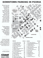
Parking in Downtown Peoria, Illinois Map
Tourist map of downtown Peoria, Illinois, showing locations of public parking.
218 miles away
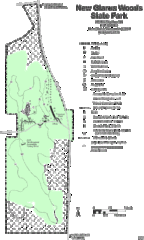
New Glarus Woods State Park Map
220 miles away
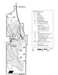
New Glaris Woods Map
Marked bathroom stops, trails, ect.
220 miles away
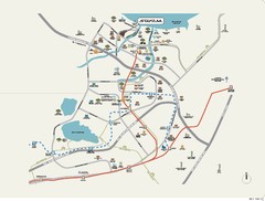
Stratum Condominium in Singapore Map
Stratum Condominium in Singapore offers great units and facilities to all their clients. With high...
220 miles away
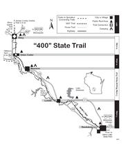
400 State Trail Map
Long and beautiful trail through Wisconsin's finest.
225 miles away
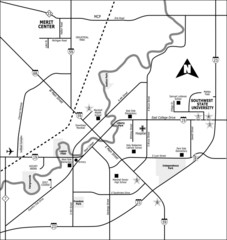
City of Marshall Visitor's Map
City of Marshall Visitor's Map describes the location of basic needs as well as recreational...
226 miles away
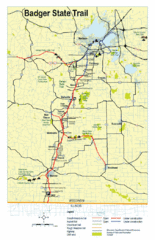
Badger State Trail Map
One of Wisconsin's best trails.
226 miles away
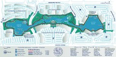
Centennial Lakes Park Map
226 miles away
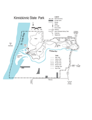
Kinnickinnic State Park Map
Map detailing hiking routes and stops along the way.
228 miles away
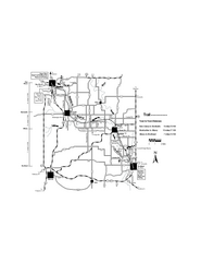
Sugar River Map
Towns, roads and rivers are all clearly marked on this map.
228 miles away
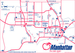
Manhattan (Kansas) City Map
City Map of Manhattan, Kansas including Kansas State University
229 miles away
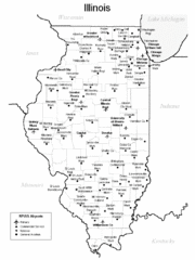
Illinois Airport Map
229 miles away
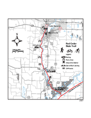
Red Cedar State Trail Map
Detailed trail map.
232 miles away
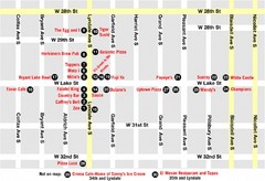
Lyn Lake-Minneapolis Restaurant Map
232 miles away
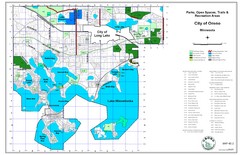
Orono City Park Map
233 miles away
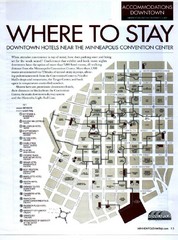
Minneapolis Hotel Map
234 miles away

