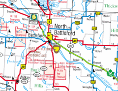
North Battleford, Saskatchewan Map
0 miles away
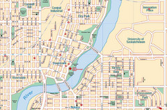
Saskatoon, Saskatchewan Tourist Map
82 miles away
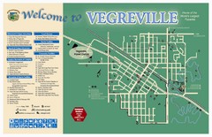
Vegreville Tourist Map
Tourist map of Vegreville, Alberta. Shows points of interest.
164 miles away
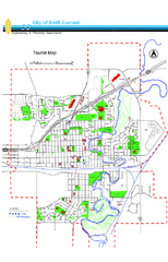
Swift Current Tourist Map
Tourist map of Swift Current, Saskatchewan. Shows all parks and walking paths.
174 miles away
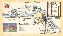
Drumheller Tourist Map
Tourist map of Drumheller, Alberta. Shows accommodations, campgrounds, restaurants, attractions...
209 miles away
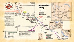
Drumheller Valley Tourist Map
Tourist map shows trails and points of interest of area around Drumheller, Alberta.
209 miles away
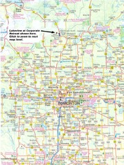
Edmonton, Alberta Tourist Map
222 miles away
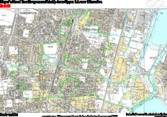
Edmonton, Alberta Tourist Map
222 miles away
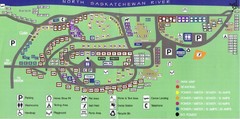
Devon Lions Park Campgrounds Map
228 miles away
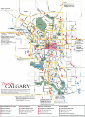
Calgary Map
273 miles away
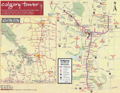
Calgary Tourist Map
Tourist map of Calgary, Canada. Shows points of interest. Scanned.
273 miles away

Edmonton, Alberta Tourist Map
Edmonton, Alberta and the area west of it
310 miles away
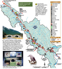
Banff National Park Map
329 miles away
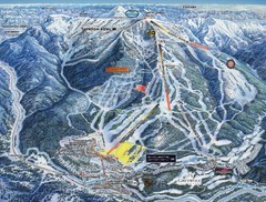
Panorama Ski Area Trail Map
Guide to the Panorama Mountain Resort, outside Calgary, Canada
329 miles away
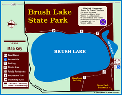
Brush Lake State Park Map
Simple and easily read map.
342 miles away
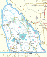
Kootenay Mountains Map
351 miles away
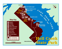
Hell Creek State Park Map
You’ll reach this campground park, 25 miles north of Jordan, through the spectacular scenery...
363 miles away
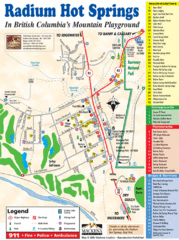
Radium Hot Springs Map
An easy to read map of this amazing hot springs area.
365 miles away
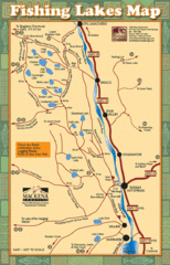
Radium Hot Springs Fishing Map
Beautiful map of the many fishing spots at this amazing site.
365 miles away
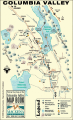
Columbia Valley Map
Easy to follow map and legend of this wilderness area.
372 miles away
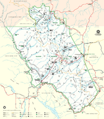
Glacier National Park Trail Map
Trails campgrounds and ranger stations.
382 miles away
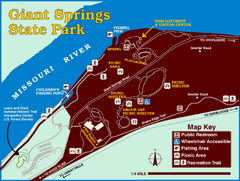
Giant Springs State Park Map
Set aside a whole afternoon to experience this scenic and historic freshwater springs site. First...
385 miles away
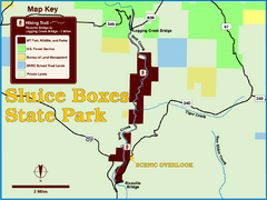
Sluice Boxes State Park Map
Remains of mines, a railroad, and historic cabins line Belt Creek as it winds through a beautiful...
393 miles away
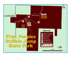
First People's Buffalo Jump State Park Map
A visitor center and interpretive trails tell the story of this prehistoric bison kill site, one of...
400 miles away
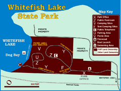
Whitefish Lake State Park Map
Although it’s right on the outskirts of Whitefish, this small park provides a mature forest...
402 miles away
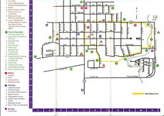
Watford City Map
Map of Watford City, McKenzie County, North Dakota. Includes streets, important buildings, parks...
410 miles away
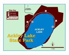
Ackley Lake State Park Map
Simple map of the State Park.
410 miles away
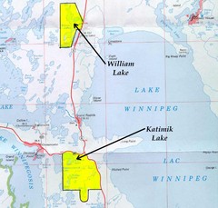
Lake Winnipeg Map
Lake Winnipeg and the land surrounding it.
414 miles away
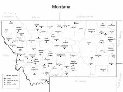
Montana Airports Map
419 miles away
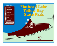
Yellow Bay State Park Map
Yellow Bay is in the heart of the famous Montana sweet cherry orchards, blossoms color the...
423 miles away
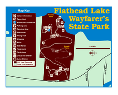
Wayfarers State Park Map
424 miles away
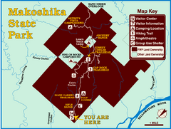
Makoshika State Park Map
To the Sioux Indians, Ma-ko-shi-ka meant bad earth or bad land. Today, as Montana’s largest...
427 miles away
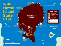
Wild Horse Island State Park Map
Boat access to this day-use-only, primitive park is regulated to protect the 2,000-acre island. The...
430 miles away
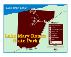
Lake Mary Ronan State Park Map
Off the beaten path just seven miles west of Flathead Lake, this park is shaded by Douglas fir and...
430 miles away
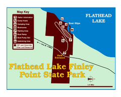
Finley Point State Park Map
This park is located in a secluded, mature pine forest near the south end of Flathead Lake. Enjoy...
430 miles away
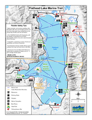
West Shore State Park Map
Glacially carved rock outcrops rise from Flathead Lake to overlooks with spectacular views of the...
433 miles away
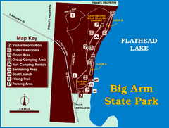
Big Arm State Park Map
Clear map and map key of Park camping grounds.
435 miles away
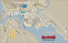
Revelstoke City Map
Overview map of Revelstoke, BC. Shows Points of Interest and activity icons
440 miles away

