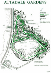
Attadale Gardens Map
Map of beautiful gardens and paths for a relaxing time. 20 acres of conifers and rhododendrons.
0 miles away
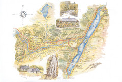
Invergarry Tourist Map
Tourist map of Invergarry, Scotland
33 miles away
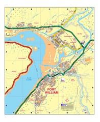
Fort William, Scotland Map
Map shows Fort William including all streets, train tracks, rivers, and streams.
42 miles away
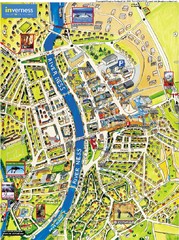
Inverness City Map
Pictorial map of Inverness
46 miles away
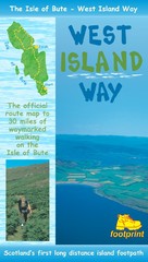
Isle of Bute Guide Map
69 miles away
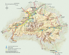
Cairngorms National Park Map
This map shows the boundaries of the Cairngorms National Park, which stretch from Grantown on Spey...
71 miles away
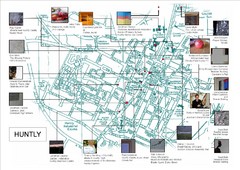
Huntly Town Collection Map
Visual public art in Huntly, Scotland. With photos. From site: "Artists working with Deveron...
99 miles away
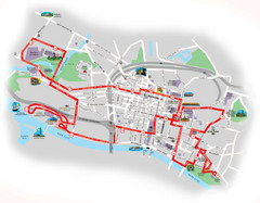
Glasgow Bus Tour Map
115 miles away
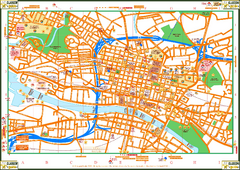
Glasglow Tourist Map
Tourist map of Glasglow, UK. Shows points of interest.
115 miles away
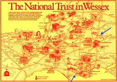
Wessex Scotland Historical Places Map
Illustrated tourist map of Wessex, Scotland showing historical landmarks.
120 miles away
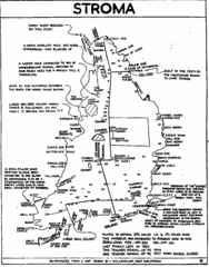
Stroma Tourist Map
123 miles away
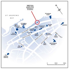
St. Andrews, Scotland Tourist Map
Shows several locations, including University of St. Andrews, in St. Andrews, Scotland
124 miles away
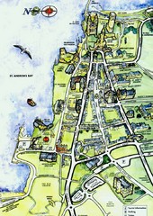
St Andrews Scotland Tourist Map
Illustrated tourist Map of St. Andrews, Scotland showing historical building and streets.
124 miles away
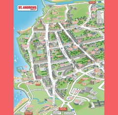
St. Andrews Map
Tourist map of St. Andrews
124 miles away
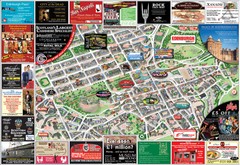
Edinburgh Mobimap Map
131 miles away
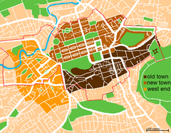
Map of Edinburgh
Shows the new town and old town of Edinburgh.
131 miles away
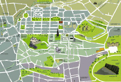
Edinburgh Tourist Map
Tourist map of Edinburgh, Scotland. Shows parks and major landmarks.
131 miles away
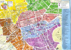
Edinburgh Walking Tourist Map
132 miles away
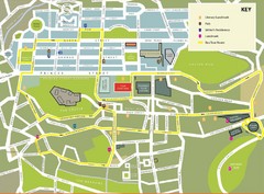
Edinburgh Tour Bus Map
132 miles away
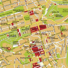
Edinburgh, Scotland Tourist Map
132 miles away
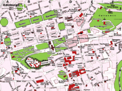
Edinburgh, Scotland Tourist Map
132 miles away
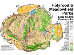
Holyrood Park Map
132 miles away
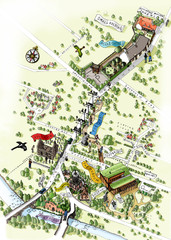
Alloway Scotland Map
139 miles away
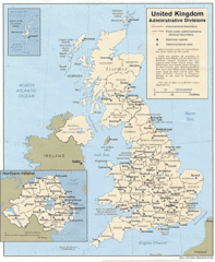
United Kingdom Tourist Map
159 miles away
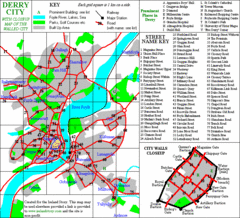
Derry/Londonderry Map
181 miles away
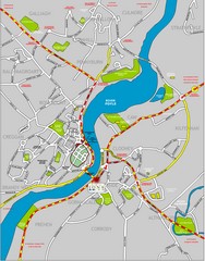
Londonderry Map
181 miles away
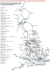
England Tourist Map
Cities and countries in England
187 miles away
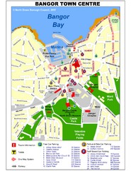
Bangor Town Centre Map
189 miles away
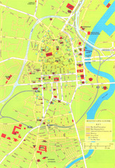
Belfast Tourist Map
Tourist map of center of Belfast, Northern Ireland, UK. Major buildings highlighted.
194 miles away
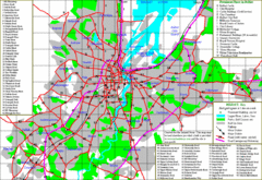
Belfast Map
194 miles away
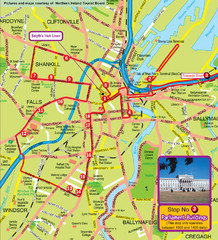
Belfast Bus Tour Map
194 miles away
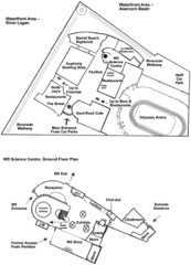
Odyssey Complex Public Service Attraction Visitor...
Odyssey complex site map, displaying the locations of all attractions, restaurants, stores...
195 miles away
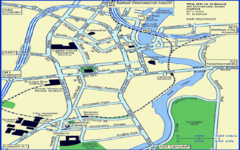
Belfast City Map
City map of Belfast with tourist information
195 miles away
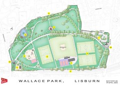
Wallace Park Map
200 miles away
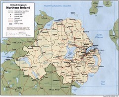
Northern Ireland Map
Map of Northern Ireland showing roads, cities, railroads and borders.
211 miles away
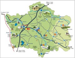
Banbridge District Tourism Map
Shows the locations of the main visitor attractions in the Banbridge District of Northern Ireland...
213 miles away
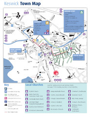
Keswick Town Map
Map of Keswick with Christian locations identified
213 miles away
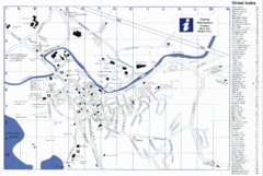
Keswick Tourist Map
Tourist map of Keswick, England. Shows all points of interest and has a street index.
213 miles away
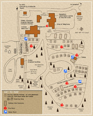
Castle Rigg Park Map
214 miles away

