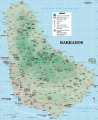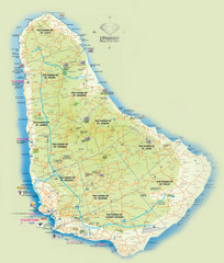
Barbados Tourist Map
Tourist map of Barbados. A bit fuzzy.
0 miles away
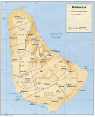
Barbados Tourist Map
0 miles away
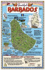
Barbados Tourist Map
2 miles away
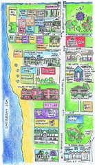
Holetown Tourist Map
Tourist map of town of Holetown
6 miles away

Bridgetown Tourist Map
Tourist map of central Bridgetown, Barbados. Shows shops and businesses.
8 miles away

St. Lawrence Tourist Map
Tourist map of town of St. Lawrence, Barbados
9 miles away
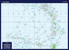
West Indies Guide Map
A map of the West Indies Islands
88 miles away
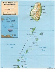
St. Vincent Map
Map of St. Vincent and the Grenadines in the Caribbean.
108 miles away
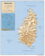
Map of Saint Lucia
Map of Saint Lucia in the Carribbean.
108 miles away
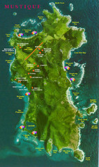
Mustique Island Map
Tourist map of private island of Mustique. Shows tourist points of interest
112 miles away
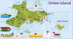
Union island tourist Map
134 miles away
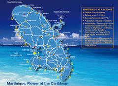
Martinique Tourist Map
Tourist map of island of Martinique in the Caribbean. Shows major roads and beaches.
141 miles away
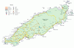
Tourist and Road map of Tobago
Tourist and Road map of Tobago in the Caribbean.
155 miles away
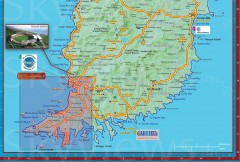
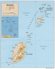
Tourist map of Grenada
Tourist map of Grenada in the Caribbean. Shows businesses and points of interest.
161 miles away
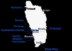
Dominica Nightlife Guide Map
196 miles away
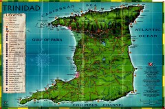
Trinidad tourist map
Trinidad tourist map. Shows points of interest.
222 miles away
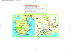
Basse-Terre Overview Map
Shows location of Hotel Le Jardin Malanga in southern Basse-Terre, Guadeloupe.
245 miles away
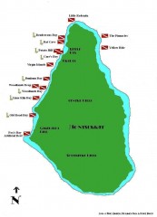
Montserrat Diving map
Diving map of Montserrat in the Caribbean. Shows all diving spots.
302 miles away
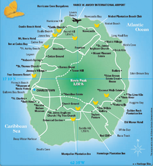
Nevis Tourist Map
Tourist map of Nevis Island, near St. Kitts. Shows inns, villages, and other points of interest.
341 miles away
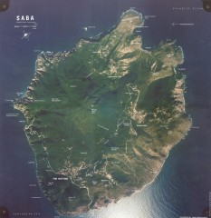
Saba aerial map
Aerial map of Saba. Shows major geological features and towns. Home of one of the world's...
394 miles away
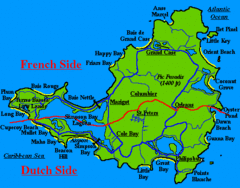
St. Maarten Beach Tourist Map
409 miles away
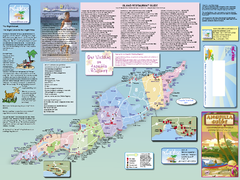
Anguilla Map
Tourist map of Anguilla Island. Shows all restaurants.
419 miles away
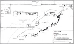
Anguilla Coral Reefs Map
Coral reef map of Anguilla Island.
419 miles away
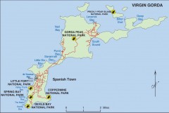
Map of Virgin Gorda
Map of Virgin Gorda in the British Virgin Islands. Shows national parks.
487 miles away
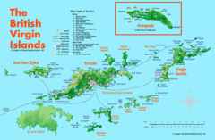
British Virgin Islands Tourist Map
Tourist map of British Virgin Islands with list of major attractions
494 miles away
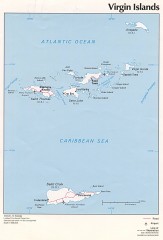
Map of the Virgin Islands
Map of the Virgin Islands
495 miles away
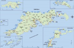
Map of Tortola Island
Tourist map of Tortola, the main island of the British Virgin Islands. Shows national parks and...
496 miles away
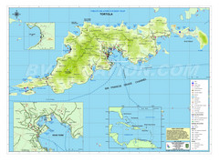
Tortola British Islands Tourist Map
Places of interest.
496 miles away
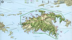
Virgin Islands National Park Tourist Map
496 miles away
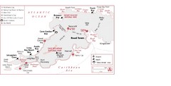
West Tortola Driving Tour Map
497 miles away

Map of Anegada
Map of Anegada island of the British Virgin Islands.
498 miles away
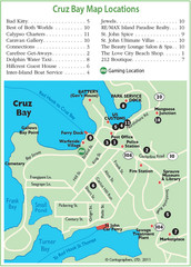
Cruz Bay St. John Map
498 miles away
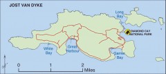
Jost Van Dyke map
Map of Jost Van Dyke island of the British Virgin Islands in the Caribbean.
502 miles away
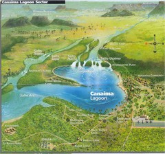
Canaima Venezuela Map
Take off point to visit Angel Falls
555 miles away
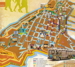
Old Town San Juan and El Morro Map
569 miles away
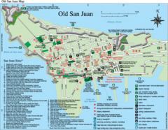
Old San Juan Tourist Map
City tourist map
569 miles away

