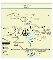
Table Rock State Park MAP
Clear and simple state park map and legend.
0 miles away
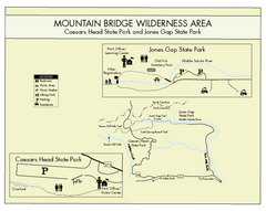
Mountain Bridge Wilderness Area Map
Map and legend marking bathrooms, picnic sites, trails and more.
5 miles away
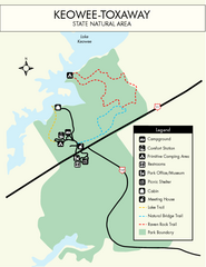
Keowee Toxaway State Park Map
Clear and detailed map of this wonderful state park.
13 miles away

Panoramic View of the Reserve Map
Panoramic map of the view northeast from 'Gladiola Ridge' in Brevard, North Carolina.
15 miles away
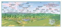
Northwest Reserve Panorama Map
Panoramic Map of the view Northwest from the Reserve in Brevard, North Carolina.
15 miles away
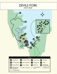
Devils Fork State Park Map
Clearly marked state park map.
15 miles away
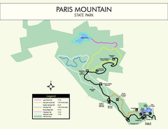
Paris Mountain State Park Map
Clearly labeled map of this beautiful state park.
20 miles away
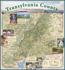
Transylvania County Tourism Development Map
Transylvania County tourist map, showing all points of interest including hiking and picnic areas.
23 miles away

Sassafras Ridge Panorama Map
Panoramic view from Sassafras Ridge near Cashiers, North Carolina.
23 miles away
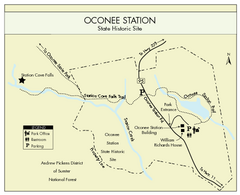
Oconee Station Map
Clear and simple map of Oconee State Park's station.
25 miles away
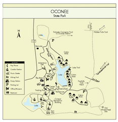
Oconee State Park Map
Beautiful state park clearly mapped with legend.
26 miles away

Waynesville and Lake Junaluska Panoramic Map
Panoramic Map taking in Waynesville, Lake Junaluska and the Richland Creek watershed in Haywood...
36 miles away
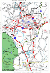
Asheville, NC Tourist Map
40 miles away
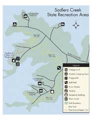
Sadlers Creek State Park Map
This simple map gives you an easy to follow layout of this amazing state park.
43 miles away
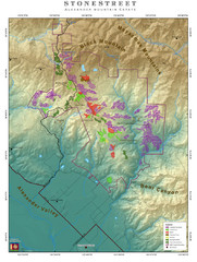
Alexander Mountain Estate Map
Vineyards in Alexander, North Carolina
45 miles away
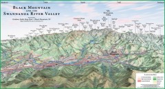
Black Mountain Panorama map
Panoramic map of the Black Mountain, NC and Swannanoa River Valley. Shows all mountains with...
48 miles away
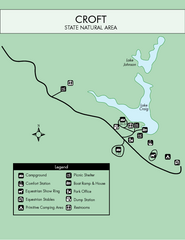
Croft State Park Map
Simple state park map.
49 miles away
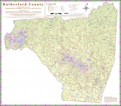
Tourist map of Rutherford County
Map of Rutherford County with detail panels for Rutherfordton, Spindale, Forest City, and Lake Lure.
50 miles away
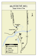
Musgrove Mill State Park Map
Clearly marked state park map.
57 miles away
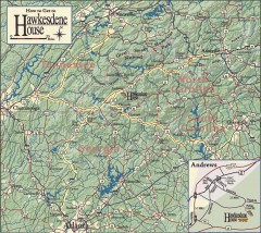
Detailed Map of Hawkesdene House area
Detailed map of how to get to Hawkesdene House B&B Inn
64 miles away
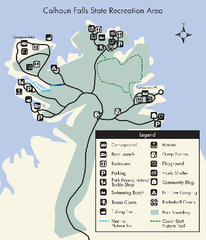
Calhoun Falls State Park Map
Clear map and detailed legend help make this map easy to read and follow.
65 miles away
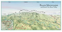
Black Mountains Panorama Map
This map portrays a sweeping vista of the Black Mountains and South Toe River Valley - extending...
65 miles away
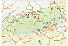
Great Smokey Mountains National Park Trail Map
Hiking trails.
65 miles away
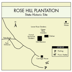
Rose Hill Plantation Map
Clear and simple state park map.
65 miles away
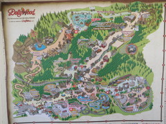
Dollywood Park Map
71 miles away
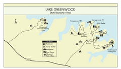
Lake Greenwood State Park Map
Clearly marked state park map on a beautiful waterfront.
72 miles away
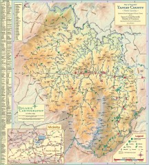
Yancey County Chamber of Commerce Map
Map of Yancey County, North Carolina. Shows all public roads, communities, hiking trails and picnic...
72 miles away
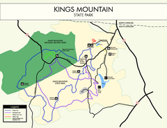
Kings Mountain State Park Map
Clearly marked state park map.
77 miles away
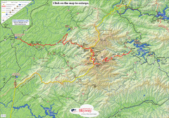
Cherohala Map
Map of Cherohala Skyway. Includes Visitor Information, roads, camping areas, and trails.
78 miles away
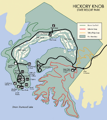
Hickory Knob State Park Map
Detailed map of this beautiful state park.
81 miles away
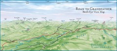
Panoramic View of Roan to Grandfather Map
This panorama takes in the vista from Roan to Grandfather mountain - overlooking the upper Linville...
81 miles away
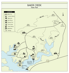
Baker Creek State Park Map
Beautiful park with wonderful views and plenty of wild life.
81 miles away
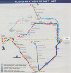
Athens Airport Lines Map
83 miles away
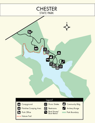
Chester State Park Map
Simple and clear state park map.
86 miles away

Roan Mountain Panorama Map
Panoramic Map of the View from the Baud Family Cabin of Roan Mountain, TN. The view overlooks...
87 miles away
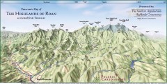
Panoramic Map of the Highlands of Roan (from TN)
Panoramic map of the Highlands of Roan as seen from Tennessee.
87 miles away
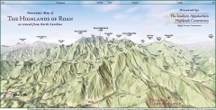
Panoramic Map of the Highlands of Roan (from NC)
Panoramic Map of the Roan Mountain Highlands as seen from North Carolina.
90 miles away
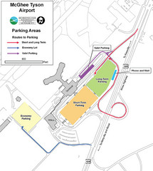
McGhee Tyson Airport Map
91 miles away

Avery County Attractions Map
Avery County Attractions Map
91 miles away
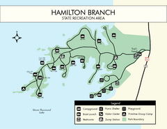
Hamilton Branch State Park Map
Simple state park map.
92 miles away

