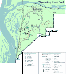
Wyalusing State Park Map
Detailed Park Map.
0 miles away
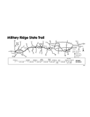
Military Ridge State Trail Map
Simple map marking trail route.
8 miles away
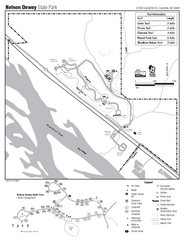
Nelson Dewey State Park Map
Easy trails for you to walk on your vacation.
17 miles away
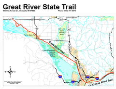
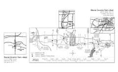
Great River State Trail Map
Nice hike through natural settings along a beautiful river.
38 miles away
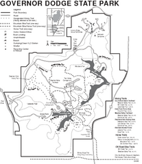
Governor Dodge State Park Map
Bike, Horse, trek, and recreational locations marked on this map.
52 miles away
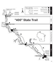
400 State Trail Map
Long and beautiful trail through Wisconsin's finest.
66 miles away
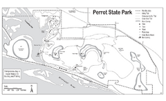
Perrot State Park Map
Have a wonderful vacation hiking through this natural setting.
74 miles away
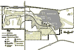
Browntown-Cadiz Springs State Recreation Area Map
Detailed map containing locations on shelters, parks, trails, and toilets.
74 miles away
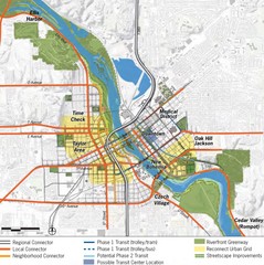
Cedar Rapids Tourist Map
74 miles away
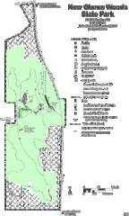
New Glarus Woods State Park Map
77 miles away
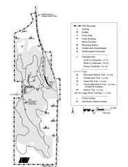
New Glaris Woods Map
Marked bathroom stops, trails, ect.
77 miles away
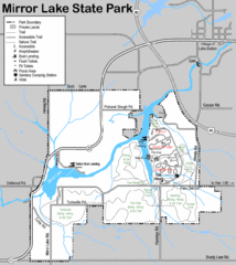
Mirror Lake State Park Map
Nice hiking routes around the lake.
77 miles away
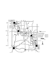
Sugar River Map
Towns, roads and rivers are all clearly marked on this map.
81 miles away
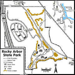
Rocky Arbor State Park Map
Detailed map of parking, water, ledges and boundaries for Rocky Arbor.
81 miles away
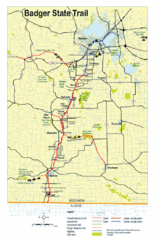
Badger State Trail Map
One of Wisconsin's best trails.
82 miles away
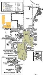
Buckhorn State Park Map
Hiking trails and fun locations marked on this map.
87 miles away
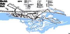
Merrick State Park Map
Beautiful hikes around the waterfront.
88 miles away
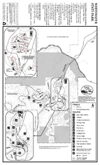
Whitewater State Park Map
map of park with detail of trails and recreation zones
88 miles away
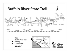
Buffalo River State Trail Map
Detailed map of excited hike through nature's finest.
89 miles away
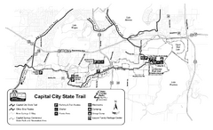
Capitol City State Trail Map
90 miles away
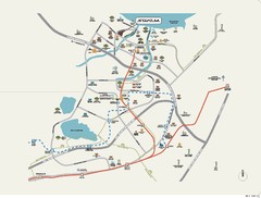
Stratum Condominium in Singapore Map
Stratum Condominium in Singapore offers great units and facilities to all their clients. With high...
91 miles away
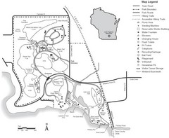
Lake Kegonsa State Park Map
Ball fields, drinking fountains, trails, and more easily guide you around this beautiful park.
96 miles away
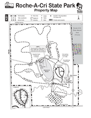
Roche A Cri State Park Map
Marked hiking trails for this State Park easily read on this map.
97 miles away
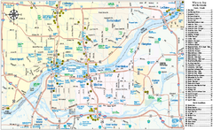
Quad Cities Area, Illinois Map
Tourist map of the Quad Cities Area, Illinois. Shows lodging as well as museums, golf courses...
106 miles away
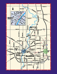
Rockford, Illinois Map
Tourist map of Rockford, Illinois. Museums, parks, hotels and other points of interest are shown.
115 miles away
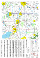
Jefferson County, Wisconsin Map
Map of Jefferson County, includes detailed information on streets, highways, recreational...
122 miles away
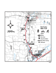
Red Cedar State Trail Map
Detailed trail map.
125 miles away
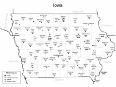
Iowa Airports Map
126 miles away
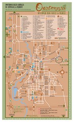
Owatonna Map
Visitor Map of Owatonna, Minnesota. Includes all streets, highways, restaurants, hotels, parks and...
130 miles away
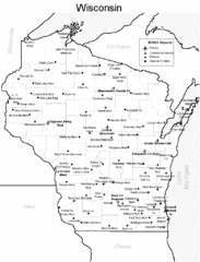
Wisconsin Airports Map
130 miles away
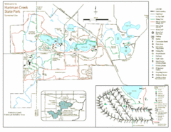
Hartman Creek State Park Map
134 miles away
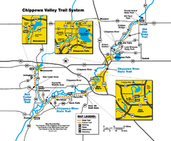
Chippewa Valley Trail System Map
Multiple trails and hiking routes in the Chippewa Valley.
135 miles away
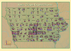
Iowa Grape Expectations Map
Shows concentration of vineyards and wineries across state of Iowa.
136 miles away
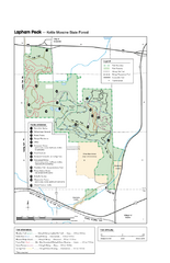
Lapham Peak Map
Ranger residence, hike path, restrooms and more are clearly marked upon this map.
138 miles away
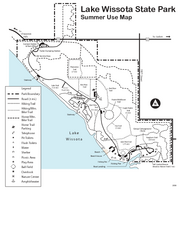
Lake Wissota State Park Map
Easy hiking along the beautiful water front.
139 miles away
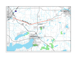
White River State Trail Map
Take the White River Trail from Elkhom to Burlington through nature's backyard.
139 miles away

Chippewa Morraine State Park Map
Walking trails.
143 miles away
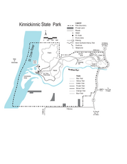
Kinnickinnic State Park Map
Map detailing hiking routes and stops along the way.
152 miles away
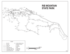
Rib Mountain State Park Map
Simple state park map with nice hiking trails.
152 miles away

