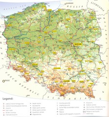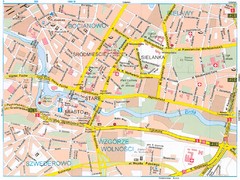
Bydgoszcz Tourist Map
Tourist map of central Bydgoszcz, Poland. Shows points of interest.
0 miles away

Poznan Tourist Map
Tourist map of central Poznan, Poland. Shows tram stops, hotels, and other points of interest.
67 miles away
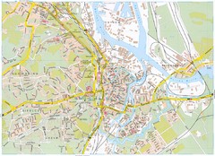
Gdansk Tourist Map
Tourist map of central Gdansk, Poland. Shows points of interest.
89 miles away
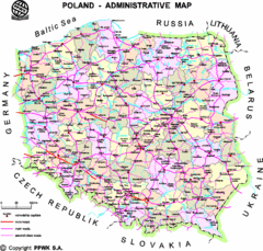
Poland Map
Map of Poland that includes all freeways, cities, districts and surrounding countries.
106 miles away
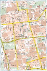
Lódź Tourist Map
Tourist map of central Lódź, Poland. Shows points of interest.
112 miles away
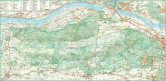
Kampinoski National Park Map
Kampinoski National Park
123 miles away
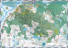
Map_Puszcza_Bukowa_Szczecin_PL.jpg Map
Map Map_Puszcza_Bukowa_Szczecin_PL.jpg is a tourist map made with an extensive use of GlobalMapper...
138 miles away
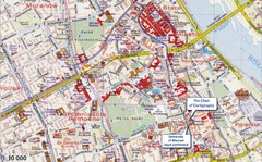
Warsaw Tourist Map
Tourist map of central Warsaw, Poland near University of Warsaw. Shows points of interest.
140 miles away
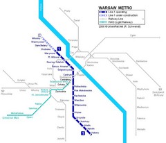
Warsaw Metro Map
140 miles away
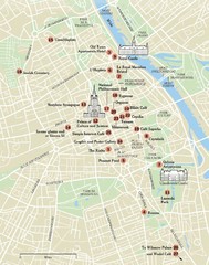
Warsaw Tourist Map
City map of Warsaw, Poland showing tourist sites, parks and major roads.
140 miles away
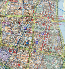
Warsaw, Poland Tourist Map
140 miles away
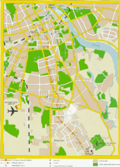
Warsaw, Poland Tourist Map
140 miles away
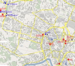
Warsaw, Poland Tourist Map
140 miles away
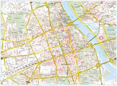
Warsaw Tourist Map
Tourist map of central Warsaw, Poland. Shows points of interest.
141 miles away
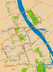
Central Warsaw Tourist Map
Warsaw, Poland Tourist Map showing roads, mass transit routes, and parks.
141 miles away
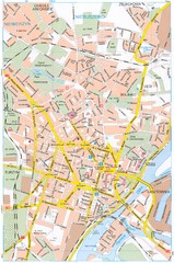
Szczecin Tourist Map
Tourist map of central Szczecin, Poland. Shows points of interest.
145 miles away
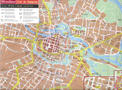
Wroclaw Tourist Map
Tourist map of central Wrocław, Poland. Shows points of interest.
145 miles away
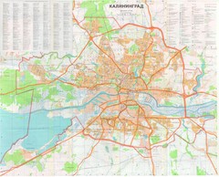
Kaliningrad 1:27000 Map
150 miles away
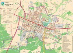
Minsk Tourist Map
Tourist map of Minsk, Poland. In Polish.
163 miles away
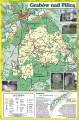
Grabow nad Pilica commune map
Grabow nad Pilica commune map Ed. 2006
167 miles away
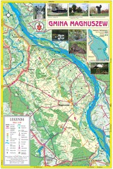
Magnuszew Commyne - Touristic map
Magnuszew commune - touristic, folded map.
169 miles away
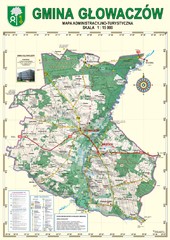
Gmina Glowaczow - Mazovia PL Map
That is a Głowaczów commune / Mazovia PL wall map. Created with use of GlobalMapper...
174 miles away
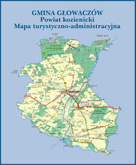
GLOWACZOW commune, PL Map
GLOWACZOW commune map, PL Ed. 2010 All data verified
175 miles away

RadomkaRiver-kayaking Map
Radomka River - kayaking map Checked on field and verified map of Radomka River from Brzoza to...
177 miles away
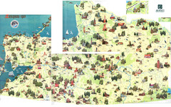
Kalinigrad region tourist map
177 miles away
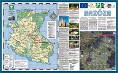
Brzoza_Glowaczow_Poland - 2000 x 1250.PNG Map
Map of Brzoza_Glowaczow_Poland - 2000 x 1250.PNG is special project dedicated to school in Brzoza...
177 miles away
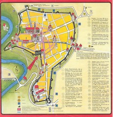
Rothenburg Tourist Map
Tourist map of town of Rothenburg
179 miles away
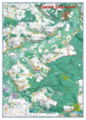
Jastrzebia commune 3D Map
Jastrzebia commune - 3D map Ed. 2010 Projection UTM/WGS84 Scale 1:25 000 Mede with extensive use...
179 miles away
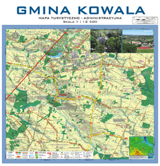
Kowala Commune - near Radom, PL Map
Kowala-Stepocina Commune - the administrative and touristic wall map, scala 1:12500, with 3D effect...
180 miles away
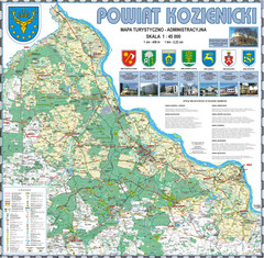
Kozienice_County_wall_map Map
Kozienice County big size wall map Covers all 7 communes: Kozienice, Garbatka-Letnisko, Grabow nad...
182 miles away
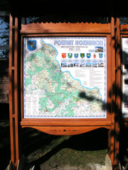
Kozienice_County_Poland_Streetmap.jpg Map
Street Map of Kozienice_County_Poland_Streetmap.jpg is added here because of the interesting wooden...
184 miles away
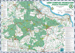
PuszczaKozienicka tourist map
LKP - Lesny Kompleks Promocyjny - PuszczaKozienicka - tourist map Ed. 2010 Projection: UTM/WGS84...
185 miles away
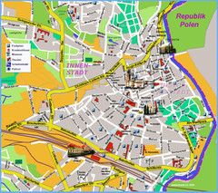
Goerlitz Tourist Map
Tourist street map of Goerlitz
187 miles away
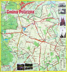
Policzna Commune Street Map
POLICZNA Commune, street map Ed. 2008 Size 2000 x 1250 mm Waterproof print-out verified for...
192 miles away
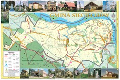
Sieciechow, Poland, Mazovia Map
Sieciechow commune map, Mazovia, PL
192 miles away
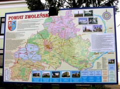
Zwolen county street map
Zwolen county - street map Big size 200 x 300 cm waterproof map
195 miles away
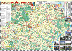
Zwolen_county_folded_map_POLAND Map
Zwolen county, paper folded map Scale 1: 70 000 Projection UTM/WGS84, GPS compatibile verified...
195 miles away
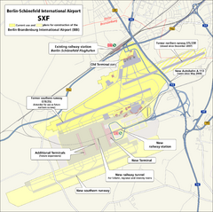
Berlin Schonefeld SXF Airport Map
195 miles away
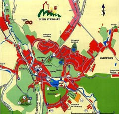
Burg Stargard Tourist Map
tourist map of Burg Stargard
196 miles away

