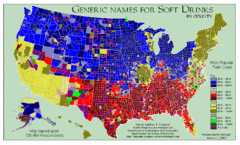
Pop vs Soda US Map
Shows most common names for soft drinks in the US by county. Based on 120,464 respondants.
0 miles away
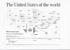
US GDP World Map
Labels each state in the US with the equivalent country in terms of GDP. Scanned.
0 miles away
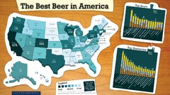
Best Beer in America 2008 Map
This map reveals the best, worst Great American Beer Festival medal winning states over 20 years of...
0 miles away
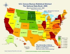
United States Travel Time to Work Statistical Map
93 miles away
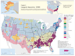
Census 2000 Data Top US Ancestries by County Map
Guide to Ancestries in the US
240 miles away
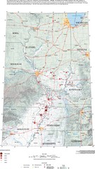
Earthquakes in the Central US Map
Map of central U.S. earthquakes from 1699 to 2002
308 miles away

Indian Lands Map
Map of Indian Lands throughout the US
337 miles away
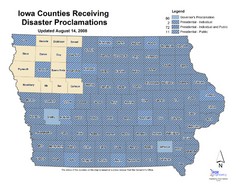
Iowa County Map
Iowa counties that receive disaster funding
359 miles away
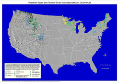
Vegetation types and elevation zones associated...
Historic Lynx Distribution Map for Lynx population from 1842 - 1998 shown on a United States map...
409 miles away
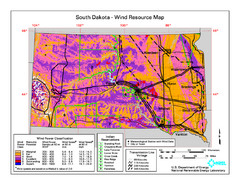
Sourth Dakota Wind Resource Map
524 miles away
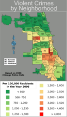
Chicago 2006 Violent Crime Map
Crime in Chicago by neighborhood.
544 miles away
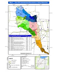
Ohio EPA Subwatersheds Boundaries in Darby...
Map shows watersheds by colors for West Central Ohio
687 miles away
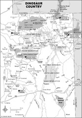
Utah Dinosaur Country Map
786 miles away
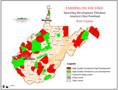
West Virginia Farmland Development Map
Map shows quality of farmland along with developments.
839 miles away
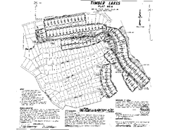
Timber Lakes Plat 4 Map
868 miles away
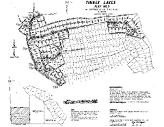
Timber Lakes Plat 5 Map
868 miles away
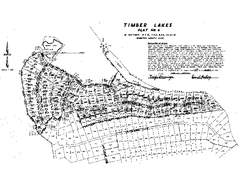
Timber Lakes Plat 6 Map
868 miles away
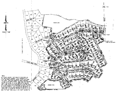
Timber Lakes Plat 8 Map
869 miles away
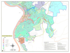
West Virginia Zoning STATE ROADS Map
Map of the zoning boundaries and state roads in West Virginia.
873 miles away

Heber City Zoning Map
877 miles away
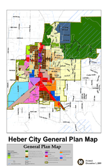
Heber City General Plan map
877 miles away
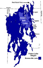
Lake Bonneville Levels Map
939 miles away
2004 Migrant Deaths, Water Station and Resue...
Deaths by type identified by location on map along with land management owner.
966 miles away
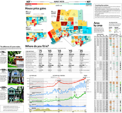
Toronto Average House Prices Map
971 miles away
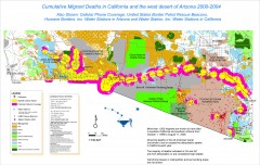
Migrant Deaths along US Border - California and...
Map shows locations of migrant deaths from 2000-2004 along the US-Mexican border in California and...
1055 miles away
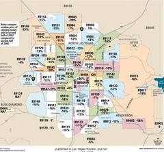
Las Vegas Median House Price Change Percentages...
1081 miles away

Dissolved Oxygen Concentrations and Trends Map
Delaware's Chesapeake Basin Dissolved Oxygen Concentrations and Trends showing increases and...
1106 miles away
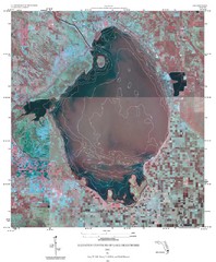
Elevation Contours of Lake Okeechobee Map
Elevation contour maps of Lake Okeechobee
1122 miles away
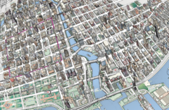
map a
1123 miles away
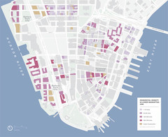
Lower Manhattan Map
1192 miles away
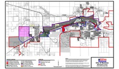
City of Barstow Zoning Map
Map illustrates the zoning and boundary areas of the city of Barstow.
1201 miles away
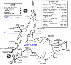
Lake Isabella Map and Statistics
1269 miles away
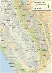
San Joaquin Valley Air Basin Map
This map is used to track air monitoring locations in periodic progress reports.
1281 miles away
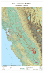
Dairy Locations and Herd Size for the Central...
Map of dairy locations, displayed by herd size in California's Central Valley. Base map...
1307 miles away
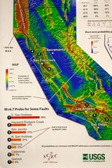
California Faults and Earthquake Probablity...
The Uniform California Earthquake Rupture Forecast map hangs at a press conference where...
1361 miles away
Nevada County Economic Resource Council Activity...
The ERC supports many different businesses in western Nevada County. We provide business assistance...
1382 miles away
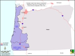
Oregon Coho Salmon Map
Shows federally listed coho salmon evolutionarily significant units in Washington state.
1387 miles away
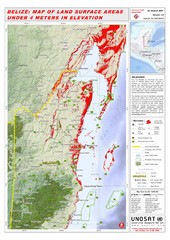
Belize Land Surface Areas Under 4 Meters Map
This map shows elevation areas in Belize under 4 meters in Red. This was the limit for the storm...
1445 miles away
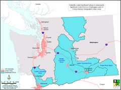
Washington Steelhead Salmon Map
Shows federally listed steelhead salmon evolutionarily significant units in Washington state.
1460 miles away
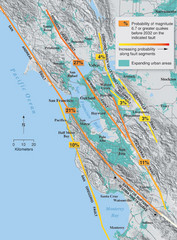
San Francisco Bay Area Faults and Earthquake...
1463 miles away

