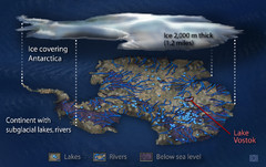
Antarctic Lakes and Rivers Map
Sub-glacial lakes, river systems.
0 miles away
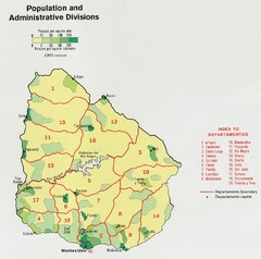
Uruguay Population Map
Uruguay's population by square mile is clearly marked on this map.
3513 miles away
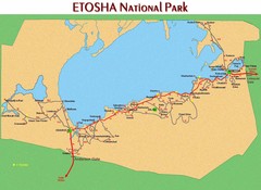
Etosha National Park Map
4203 miles away
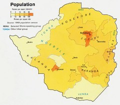
South Rhodesia Population Map
This map marks the distribution of population within South Rhodesia.
4310 miles away
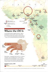
Sub-Saharan Africa Oil Map
Shows major oil producing countries in Sub-Saharan Africa. Biggest two countries are Nigeria and...
4870 miles away

Fraser Island Map
5199 miles away
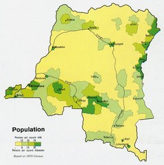
Zaire Population Map
This map clearly marks the distribution of Zaire's population.
5279 miles away
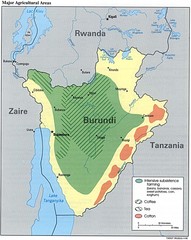
Burundi Agricultural Map
Map of Burundi's major agricultural areas
5370 miles away
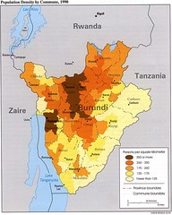
Burundi Population Density Map
Map of Burundi's population density by commune
5383 miles away
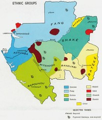
Gabon ethnic groups Map
5450 miles away
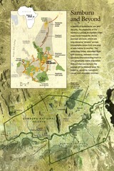
Samburu Elaphant population Map
5764 miles away
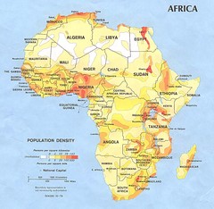
Africa Population Map
Map of population densities throughout Africa
5801 miles away
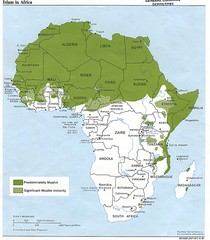
Islam in Africa Map
Map of Islamic population densities throughout Africa
5924 miles away
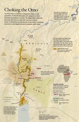
Omo River Ethiopia Map
Choking of the Omo River from National Geographic Magazine
6028 miles away
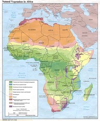
Africa Natural Vegetation Map
Map of natural vegetation throughout Africa
6038 miles away
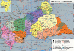
Central African Republic Map
6086 miles away
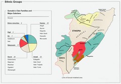
Somalia Ethnic Groups Map
Map of ethnic groups throughout Somalia
6102 miles away
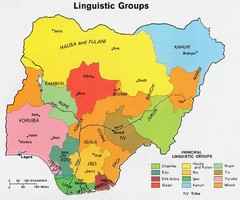
Nigeria Linguistic groups 1979 Map
6113 miles away
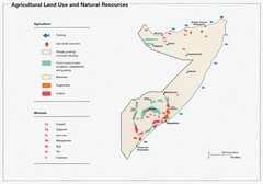
Somalia Land Use Map
Map of Somalia's agricultural land use and natural resources
6118 miles away
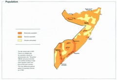
Somalia Population Density Map
Map of Somalia's population density
6118 miles away
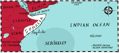
Somalia by Maps Illustrated Map
Map from Diplomat Magazine showing the location of Somalia and the area of sea that the Seychelles...
6118 miles away
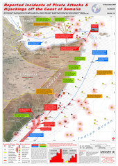
Somali Pirate Attacks Map as of Dec 12, 2007
Shows reported incidents of pirate attacks and hijackings off the coast of Somalia from Jan 2005...
6176 miles away
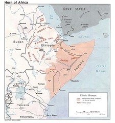
Horn of Africa Ethnic Groups Map
Map of ethnic groups throughout Horn of Africa region
6278 miles away
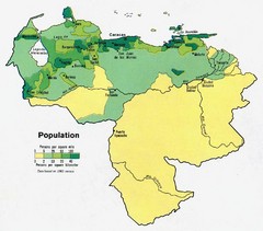
Venezuela Population Map
Map marking population per square mile.
6289 miles away

Upper Volta Ethnic Groups Map
6316 miles away
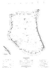
Nukunono atoll Map
6327 miles away
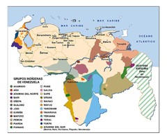
Venezuela Indigenes populations Map
6335 miles away
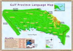
Gulf Province language Map
6354 miles away
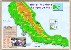
Central province language Map
6363 miles away
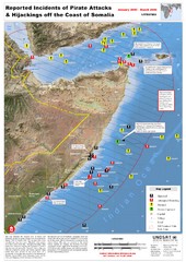
Pirate Attacks off Coast of Somalia Map
Shows reported incidents of pirate attacks and hijackings off the coast of Somalia from January...
6402 miles away
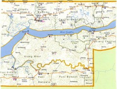
Gambia 2 Map
6405 miles away
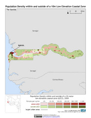
The Gambia 10m LECZ and Population Density Map
Populaton Density within and outside of a 10 meter Low Elevation Coastal Zone
6406 miles away
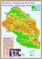
Western Highlands language Map
6460 miles away
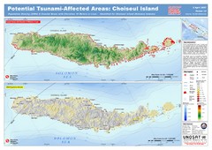
Tunami Affected Areas of Choiseul Island Map
The map illustrates the areas 10m and below potentially affected by the tsunami on the coast of...
6464 miles away
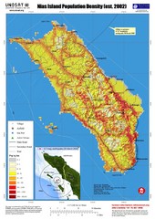
Nias Island Population Density Map
Density map for time of8.7 magnitude Earthquake March 28, 2005
6482 miles away
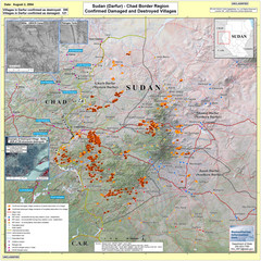
Villages Destroyed in Darfur, Sudan Map
Guide to villages destroyed as of August 2, 2004 in the Darfur region of Sudan
6497 miles away
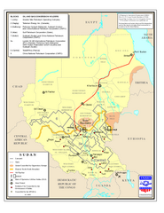
Sudan Oil and Gas Map
Map of Sudan's oil and gas concession holders
6501 miles away
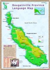
Bougainville Province language Map
6521 miles away

