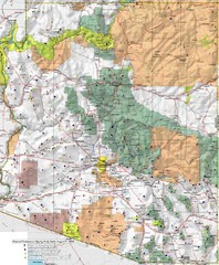
Arizona Prominance Map
Prominant peaks are marked by flags in 4 categories according to elevation.
0 miles away
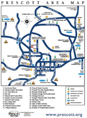
Prescott Area Map
17 miles away
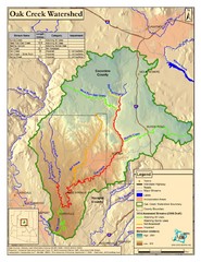
Oak Creek Watershed Map
Colorful Map of Oak Creek Watershed. Includes detailed information about the watershed, roads...
65 miles away
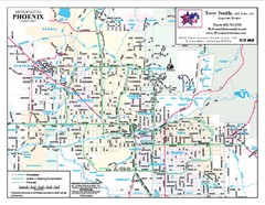
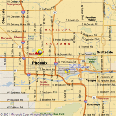
Phoenix, Arizona City Map
66 miles away
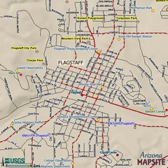
Flagstaff, Arizona City Map
78 miles away
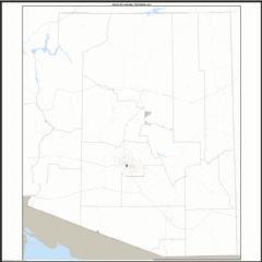
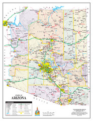
Arizona Zip Code Map
Check out this Zip code map and every other state and county zip code map zipcodeguy.com.
84 miles away
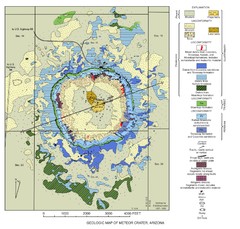
Meteor Crater Geologic Map
98 miles away
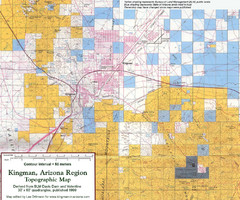
Kingman, Arizona Region Topographic Map
Elevation in qauadrangles for the Kingman, Arizona area
105 miles away
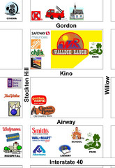
Walleck Ranch Area, Kingman Arizona Map
106 miles away
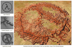
Rendered Terrain of the Grand Canyon Map
Created from Digital Elevation Models
130 miles away
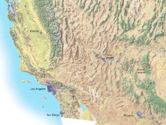
Southwest USA topo Map
153 miles away
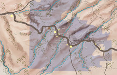
Hopi Reservation Map
Hopi Reservation locations in Arizona
156 miles away
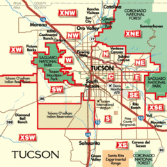
Tucson, Arizona City Map
171 miles away
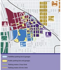
Tuscon Map
Parking garages, lots, and meters in Tuscon.
171 miles away
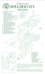
Boulder City Map
Map of Boulder City, Nevada. Shows points of interest and parks.
173 miles away
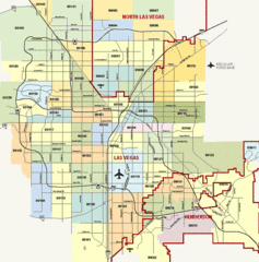
Las Vegas Zip Codes Map
194 miles away
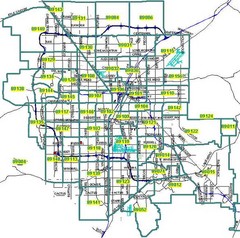
Las Vegas Zip Codes Map
194 miles away
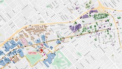
Las Vegas Map
194 miles away
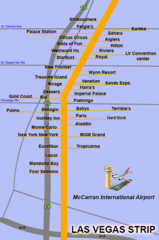
The LV Strip Map
This is a map of the Las Vegas Strip with the names of the hotels located around it.
194 miles away
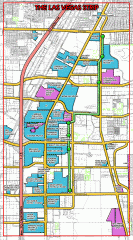
Las Vegas Strip map
Las Vegas map of the famous strip. All major casinos shown, including Bellagio, MGM Grand, Caesars...
194 miles away
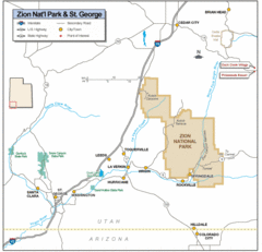
Zion National Park Highway Map
Highways, roads, cities and points of interest are marked on this clear map.
201 miles away
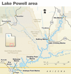
Lake Powell Area Map
Clear map marking the surrounding area of this pristine lake.
201 miles away
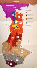
Habitat/Elevation Map of the Sant Rosa Mountains
Deep Canyon, with detailed descriptions of the major plant communities as they change with...
222 miles away
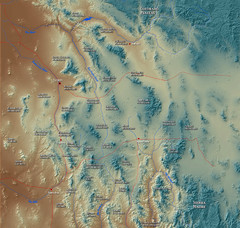
US and Mexico Sky Islands Map
Madrean Sky Islands of the U.S. and Mexico
224 miles away
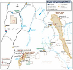
Bryce Canyon National Park Map
Roads, highways, rivers and points of interest are clearly marked on this simple map.
227 miles away
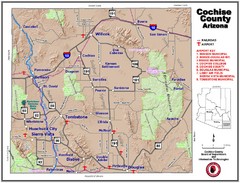
Cochise County Map
228 miles away
Toro Peak Elevation Map
Created with PALSAR Technology.
231 miles away

Geological Map of the San Pedro River
This is a map of the San Pedro River valley up to where it joins the Gila.
231 miles away
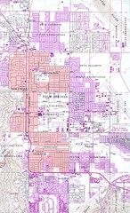
Palm Springs California City Map
233 miles away
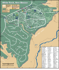
White Rock Road Map
Large and detailed map marking points of interest and roads.
269 miles away
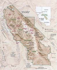
Death Valley National Park Map
279 miles away
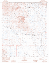
Riverside, California City Map
280 miles away
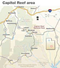
Capitol Reef National Park Map
Clear map marking major highways and cities.
283 miles away
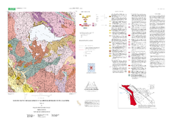
Lake mathews geologic map
285 miles away
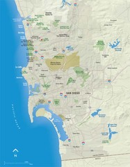
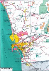
San Diego Map
290 miles away
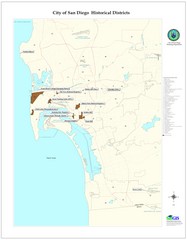
San Diego Historical Districts Map
City map of San Diego, California with historic district locations.
290 miles away

