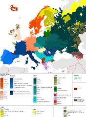
Languages of Europe Map
A map of the languages in Europe and where they originate.
0 miles away
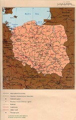
Poland Country Map
CIA Atlas of Eastern Europe - PCL Map Collection, University of Texas at Austin.
58 miles away
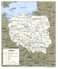
Poland Map
Map of Poland showing major roads, railroads, cities and boundaries.
58 miles away
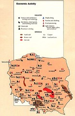
Poland Economic Activity Map
Map of Poland's economic activity
58 miles away
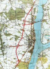
Serock Map
Town map of Serock, Poland. Not very much detail.
59 miles away

Warsaw University Map
Map of Warsaw University and surrounding area.
64 miles away
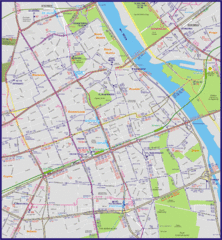
Warsaw City with Bus Routes Map
65 miles away
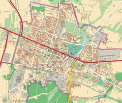
Mińsk Mazowiecki City Map
City map of Mińsk Mazowiecki, Poland
87 miles away
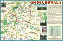
Kowala_Mazovia_poland.jpg Map
Map of Kowala_Mazovia_poland.jpg is a Kowala commune map, created with use of GlobalMapper and...
112 miles away
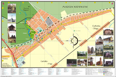
Garbatka_Letnisko_Poland.jpg Map
Map of Garbatka_Letnisko_Poland.jpg is a "city-village" plan. I do love to enter photos...
118 miles away
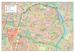
Poznan City Map
City map of center of Poznan, Poland. Shows bus and tram routes.
118 miles away
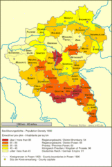
Posen Population Map
118 miles away
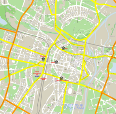
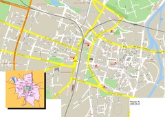
Poznan Street Map
Street map of Poznan, Poland.
118 miles away
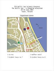
Eastern Sopot Map
130 miles away
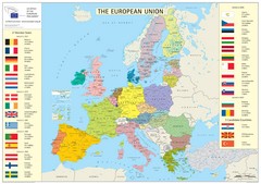
European Union Member States Map
Shows all member states and years joined. Also shows candidate states.
173 miles away
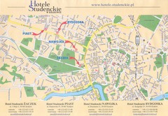
Cracow City Map
City map of Cracow with hotels
183 miles away
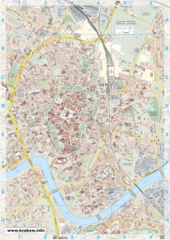
Krakow City Map
City map of central Krakow, Poland.
183 miles away
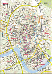
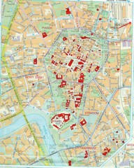
Krakow City Center Map
183 miles away
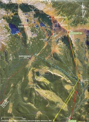
Tatras Map
The Tatras - rocks, landforms, weathering and soils field trip map with sites identified.
208 miles away

Kaunas City Map
229 miles away
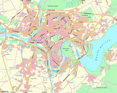
Kaunas Map
City map of Kaunus, Lithiania
230 miles away
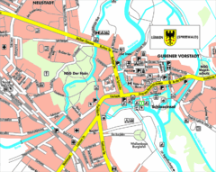
Lübben (Spreewald) Map
Street map of Lübben (Spreewald)
250 miles away
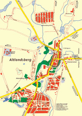
Altlandsberg Map
Map of town of Altlandsberg
250 miles away
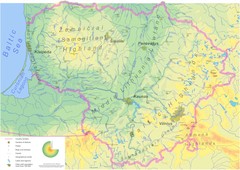
Lithuania physical Map
258 miles away
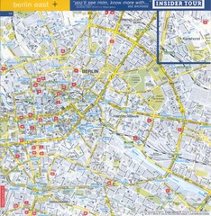
Berlin Street map - East
Street map of eastern Berlin, Germany.
264 miles away
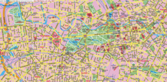
Berlin Center Map
264 miles away
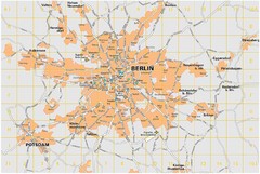
Berlin City Map
City map of Berlin Metropolitan area
264 miles away
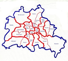
Berlin Bezirke Map
264 miles away
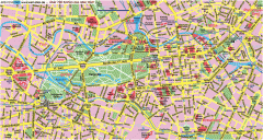
Central Berlin Street Map
Street map of central Berlin, Germany with some major building drawings. In German. Karte von...
266 miles away
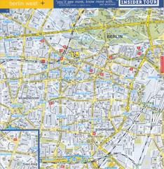
Berlin Street Map - West
Street map of western Berlin, Germany.
267 miles away
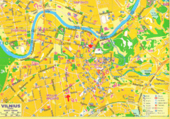
Vilnius Map Big
267 miles away
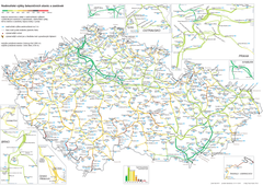
Elevation Railway Map of Czech Republic
Elevation of railways and main stations in Czech republic. Blue numbers show elevation of stations...
269 miles away
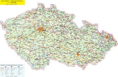
Czech Republic Road Map
Road map of the Czech Republic. Legend in Czech, German, and English.
270 miles away
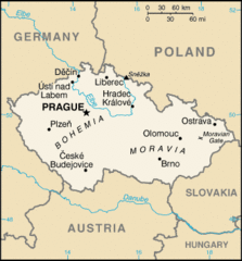
Czech Republic Country Map
Country of Czech Republic, and surrounding countries.
270 miles away
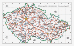
Czech Republic Country Map
Map of Czech Republic, roads, and major cities.
270 miles away

